Aerial Photography
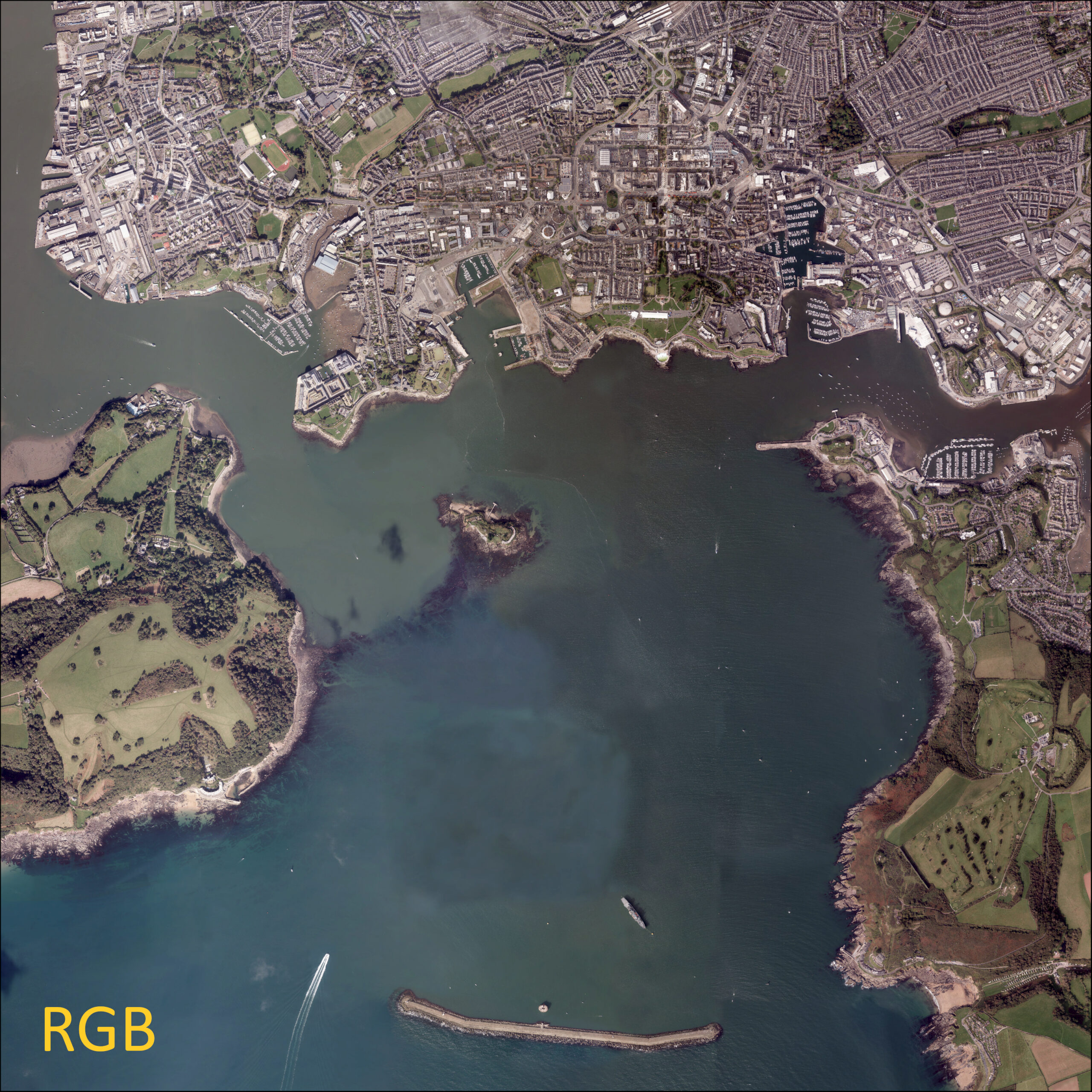
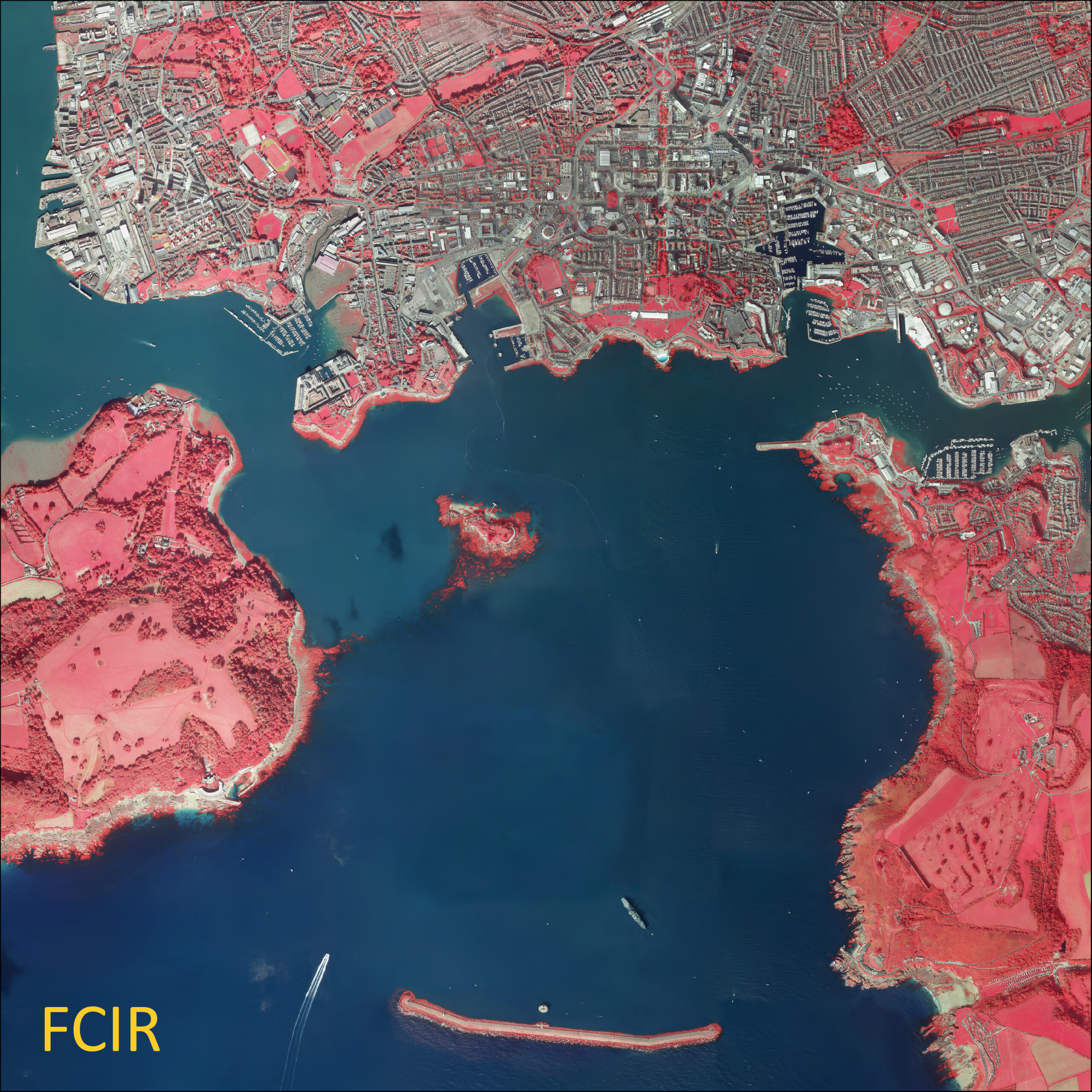
SWCM routinely collects high resolution (10 cm) aerial photography for the full coastal area of the southwest at least once every five to six years. Aerial data is captured in two formats; 3 band (RGB) orthophotography and False Colour Composite Infrared (FCIR) orthophotography.
Aerial photography has a number of valuable uses, such as identifying changes in coastal geomorphology and providing a basemap for habitat mapping and land use change. Repeat aerial photography flights are also highly valuable in illustrating coastal change over time and are frequently used to determine coastal evolutionary trends.
Data Capture
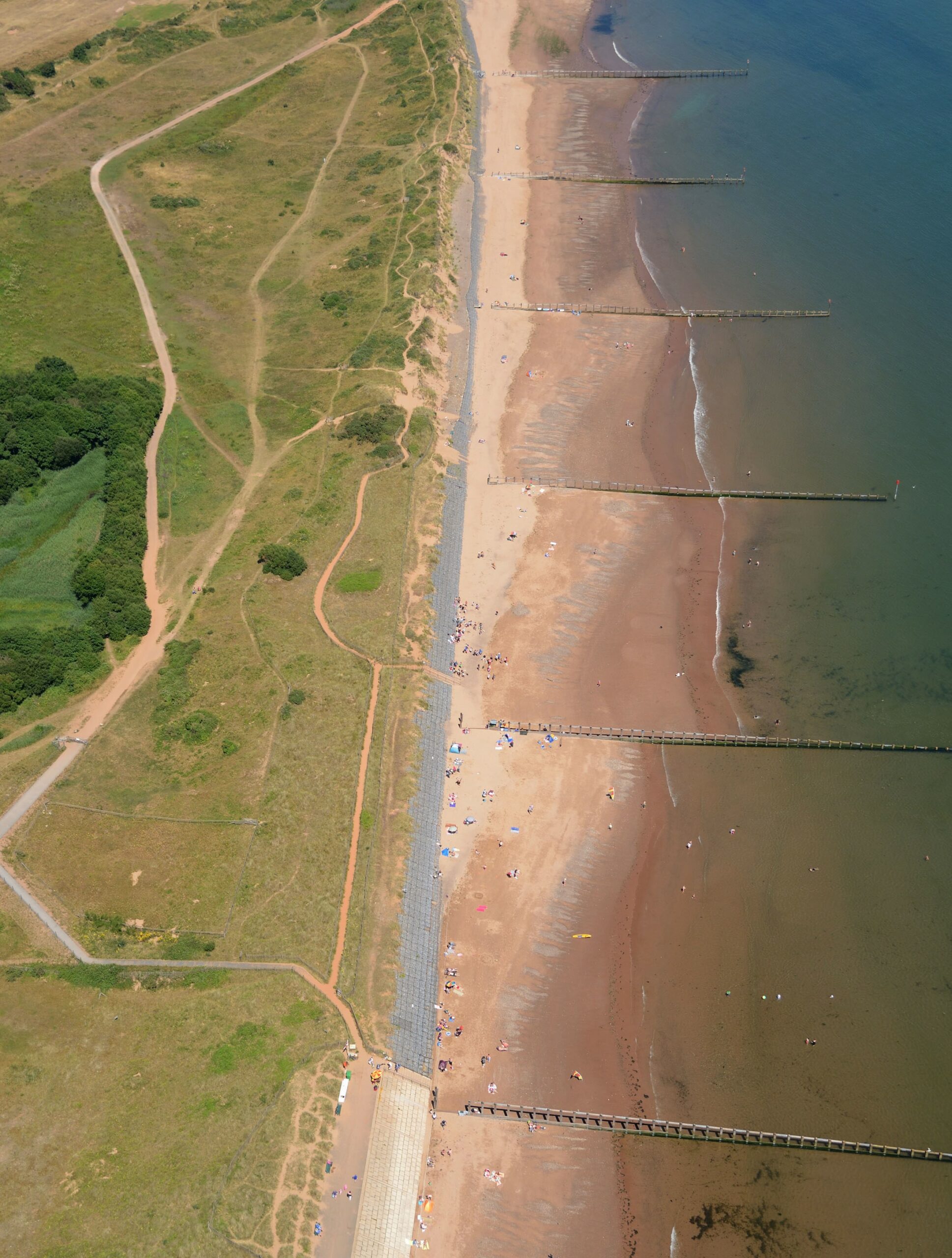
Our photography is primarily collected by an aircraft mounted, survey grade, digital camera, with some smaller areas being captured using a UAV (Uncrewed Aerial Vehicle). The cameras are generally mounted looking vertically down, to collect birds-eye (nadir) images , however they can also be side-facing to capture oblique photography of certain coastal features, for example cliff faces or dunes.
Each aerial sortie is carried out over spring low tide, to ensure maximum data capture across the intertidal area and flown to cover ~100 m inland which includes all tidally influenced estuaries and river channels. All the images are orthorectified (e.g. corrected for height distortion) using our LiDAR height data.
The imagery is flown throughout the summer months, when vegetation is at its most abundant, so that it can be used to support our habitat mapping programme.
To find out where and when data has been collected, have a look at our map viewer.
Data Outputs
Aerial photography data captured by the SWCM supports the Environment Agency's Strategic Objectives to provide evidence for managing coastal flooding and change. It informs planning relating to both the protection and creation of nationally and internationally important coastal habitats and biodiversity.
The animation below shows how valuable aerial imagery can be. It shows the beach and dune advance at Par Sands beach, South Cornwall, using our aerial imagery compared to a historic 1940s dataset.
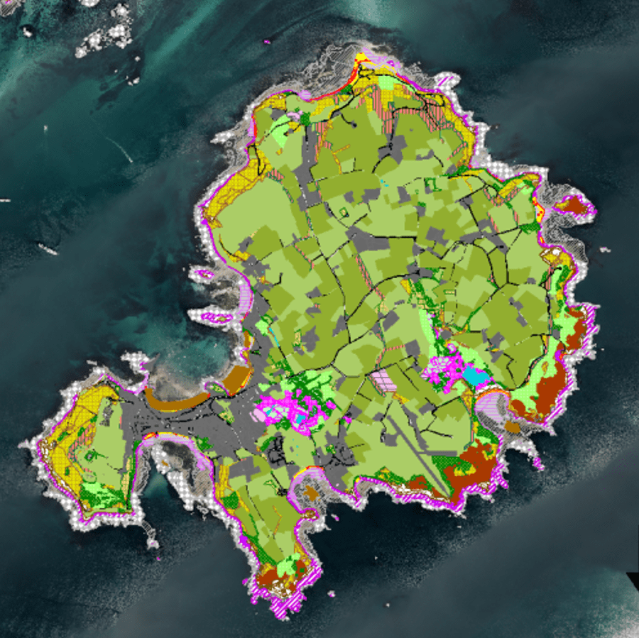
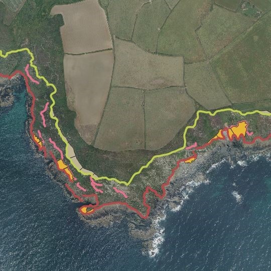
The aerial imagery is used to generate additional coastal outputs. The RGB and FCIR imagery helps classify the habitats along our South West coastline. The RGB imagery is also used, alongside LiDAR data, to generate cliff lines, allowing for the identification of retreat rates over time. Use the links below to find out more.
Let's Keep In Touch
We’ll keep you up-to-date with all the latest news on this website, but we’d also love to be able to send the occasional update.
We promise we'll only use your details to tell you about what we’ve been doing.
