Other Data
As well as our core data, we also hold various other datasets...
These include historic datasets given to us for use in our analysis and data shared with us by our Partners as well as data and reports collected by our Programme.
Airborne Bathymetry
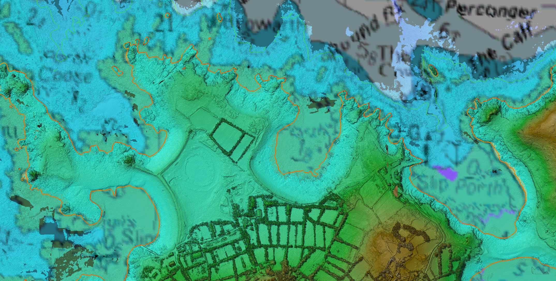
The Programme trialled Airborne Bathymetric LiDAR (ABL) and in 2015 collected a seamless topographic and bathymetric dataset of the Isles of Scilly.
ABL is collected using the same principles as terrestrial LiDAR. Pulses of light are emitted and the return time used to map surface elevation. Terrestrial lidar uses infrared lasers; ABL uses both infra red and green band lasers to penetrate the water column and map the seabed.
While ABL has several advantages, such as seamlessly mapping the land and sea interface and the ability to survey shallow and inaccessible areas, water clarity has a big impact on the depth to which data can be collected. Generally it is expected that ABL can map to 3 times secchi disk depth, a traditional measurement of water clarity.
Our trials found that while water clarity in the Isles of Scilly was good, kelp and other vegetation blocking the survey became a problem. Elsewhere on the South West coast, our trials showed the water clarity was not sufficient for ABL to be a viable means of data collection at present.


Cliff Top Mapping
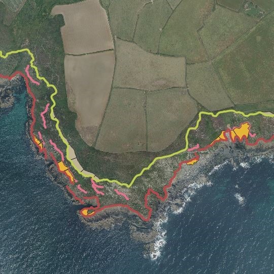
Cliff lines have been digitised from our orthorectified aerial photography (for cliff lines 2006 and 2009) and also, in combination with our LiDAR data, for the cliff lines 2012-2014 and 2017-2019.
This captured the cliff lines and identified areas of cliff retreat. These cliff lines and change polygons can provide insight into how the cliffs have eroded.
The combination of LiDAR data, alongside the aerial imagery to aid cliff line detection was essential, as our orthorectified aerial imagery (Ground Sampling Distance of 0.1 m) suffers from occasional inclination errors and distortions due to not being “true orthophotos”.
The 2006 and 2009 cliff lines were determined using only aerial photography, therefore, there are discrepancies in their accuracy should be used with caution. Resultantly, the change polygons indicating cliff line retreat are only available comparing cliff lines from 2012-14 and 2017-19 aerial imagery. The more recent cliff lines can be downloaded from the National Coastal Monitoring website.
Terrestrial Laser Scanning (TLS)
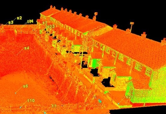
As part of the Devon, Cornwall and Isles of Scilly Coastal Asset Review and Project Management Support Programme, we carried out laser scan surveys of coastal defence assets at Eastcliff near Teignmouth (Devon), Polperro and Portreath (Cornwall).
We also carry out yearly laser scan surveys of Chesil Cove seawall and Weymouth harbour on behalf of Dorset Councils Partnerships. TLS data for the cliffs at Pennington Point near Sidmouth (Devon) was also collected in 2017 on behalf of East Devon District Council. If you wish to find out more, please get in touch.


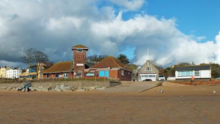
Exmouth NCI Meteorological Data
Monthly meteorological data from the National Coastwatch Institution’s (NCI) Exmouth station is kindly provided to East Devon District Council by the NCI and archived by SWCM.
Please note that data is not quality checked and therefore does not form part of SWCM's routine analysis.


Let's Keep In Touch
We’ll keep you up-to-date with all the latest news on this website, but we’d also love to be able to send the occasional update.
We promise we'll only use your details to tell you about what we’ve been doing.
