Data Types
Since 2006 we have been collecting coastal monitoring data for the entire South West coast – that’s over 17 years!
We have a wide range of coastal data including aerial photography, bathymetry, coastal asset information, habitat mapping, LiDAR, topographic beach profile surveys, wave and tidal measurements and weather data.
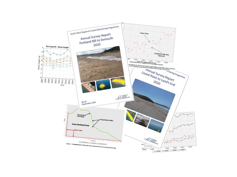
In addition, we have various other datasets such as airborne bathymetry, terrestrial laser scans and uncrewed aerial vehicle (UAV) surveys. The data we collect is analysed by our expert team of Coastal Process Scientists; findings are reported here in our annual survey reports, as well as in other site, or event-specific reports.
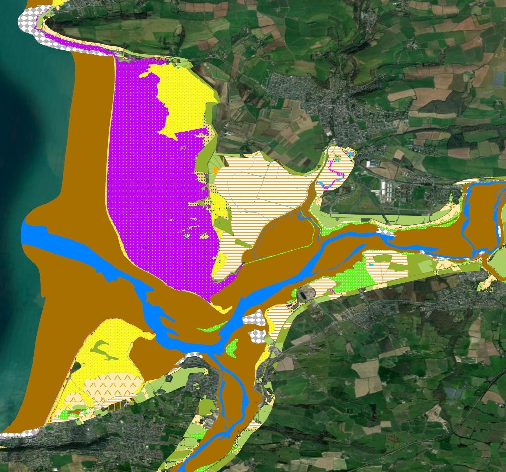
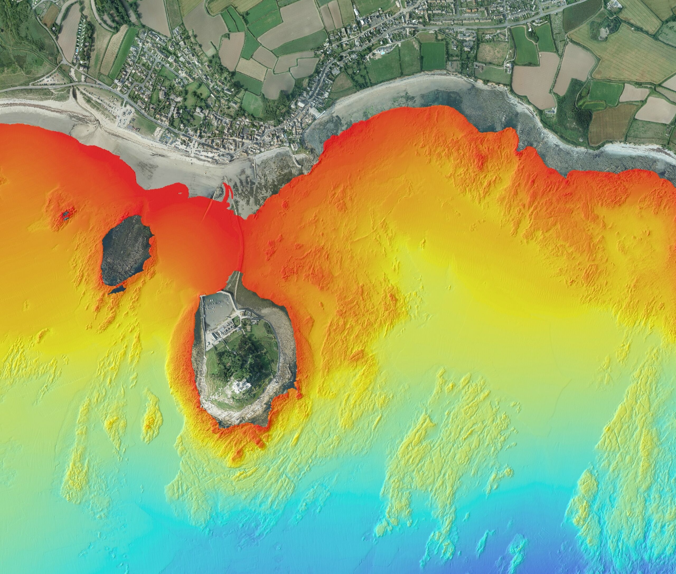
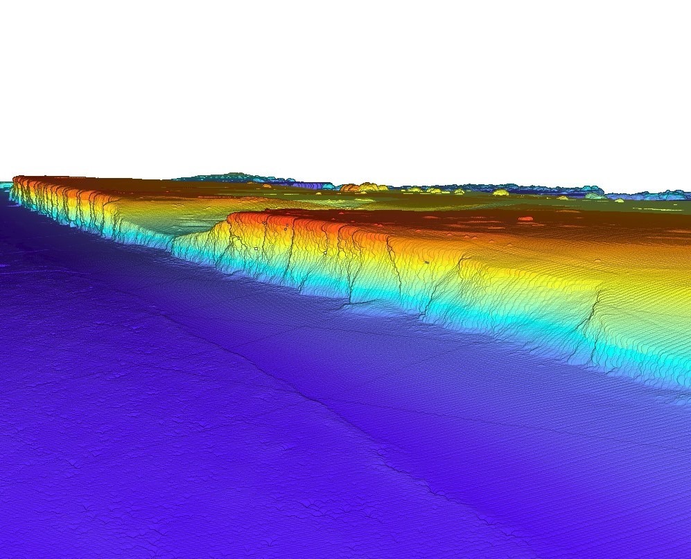
Explore Our Data Types
Download Our Data
All our data and reports are available free of charge to download directly from the National Coastal Monitoring website, click below:
All we ask is that you credit any of our work that you use, referencing 'South West Coastal Monitoring'.
When you do download our data please let us know how you’re using it, so we can be sure we are producing it in the best way. The more feedback we receive from you, the better the service we can provide!







Let's Keep In Touch
We’ll keep you up-to-date with all the latest news on this website, but we’d also love to be able to send the occasional update.
We promise we'll only use your details to tell you about what we’ve been doing.
