Coastsnap
Become a community scientist today by simply taking a photo!
A catalogue of your beach images can help us better understand the dynamic nature of our coastline.
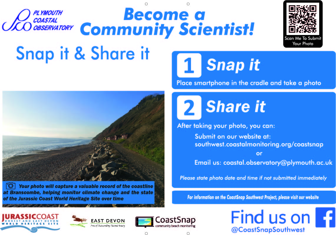
The next time you are visiting one of our photo points around the South West coastline, be sure to look out for our camera mount and sign. By placing your smartphone in the camera mount, taking a photo, and sharing it with us through our website you can help document a valuable snapshot of our continually changing coastline.
With enough photos taken across varying tidal stages, we can link beach erosion/accretion events (loss/gain of beach material) to weather conditions, seasonal fluctuations, and extreme storm events.
Your images will help communities, organisations, and local authorities to determine the best management practices for our valuable beach environments.
CoastSnap photos from Porthmeor capturing the changing sand level between July 2022 to June 2023.
How to get involved
When you are passing one of our sites, look out for the camera mount and join in with the coastal monitoring fun:
- Place your smartphone on its side in the mount so that the camera is facing the beach through the gap. *This is very important, if you don't use the camera cradle, we can't use your photo.*
- Take your photo, without using zoom, square or panoramic.
- Carefully remove your phone.
- Share your photo with us by submitting on our website using either the QR code available, or by visiting the submission page here.
Important - If you don't send the photo immediately, be sure to note down the time and date the photo was captured.
Where to find a CoastSnap Station
We are currently in the process of rolling out new sites around the South West. Use the map below to find your nearest site.
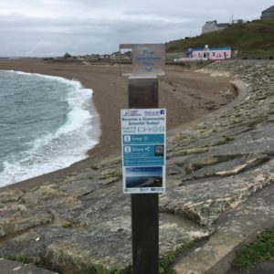
Chesil, West Dorset
At the eastern end of the Chiswell Sea Defence, overlooking the pebble ridge.
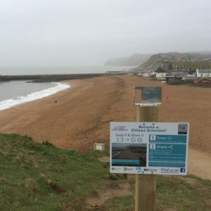
East Beach, West Bay, West Dorset
On the coast path up to the cliff.
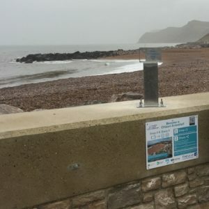
West Beach, West Bay, West Dorset
At the entrance to the harbour arm.
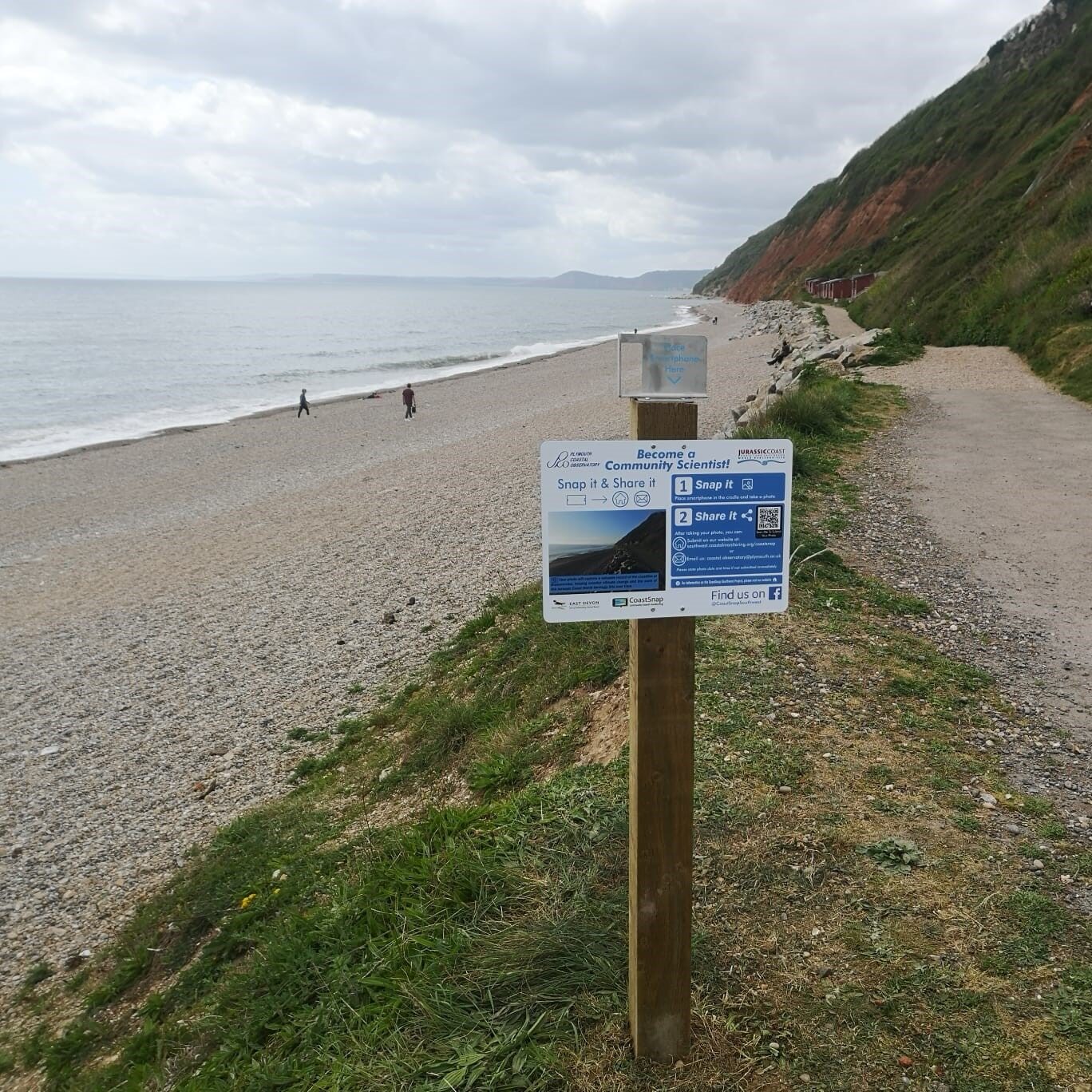
Branscombe, South Devon
Towards the western side of the footpath running along the back of the beach.
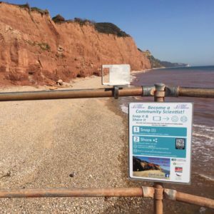
Sidmouth, South Devon
To the east of the promenade, overlooking Pennington Cliffs.
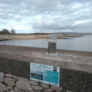
Dawlish Warren, South Devon
Near the lifeguard hut by the south beach entrance.
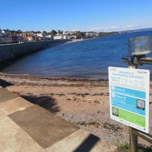
Dawlish, South Devon
At the southern extent of Dawlish Beach, next to the pedestrian railway crossing.
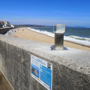
Slapton, South Devon
At the southern end of the beach, on top of the sea defence at Torcross.
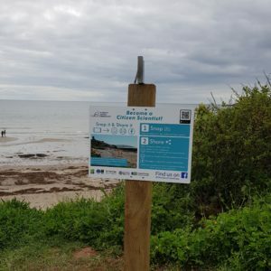
Wembury, South Devon
To the West of the beach entrance.
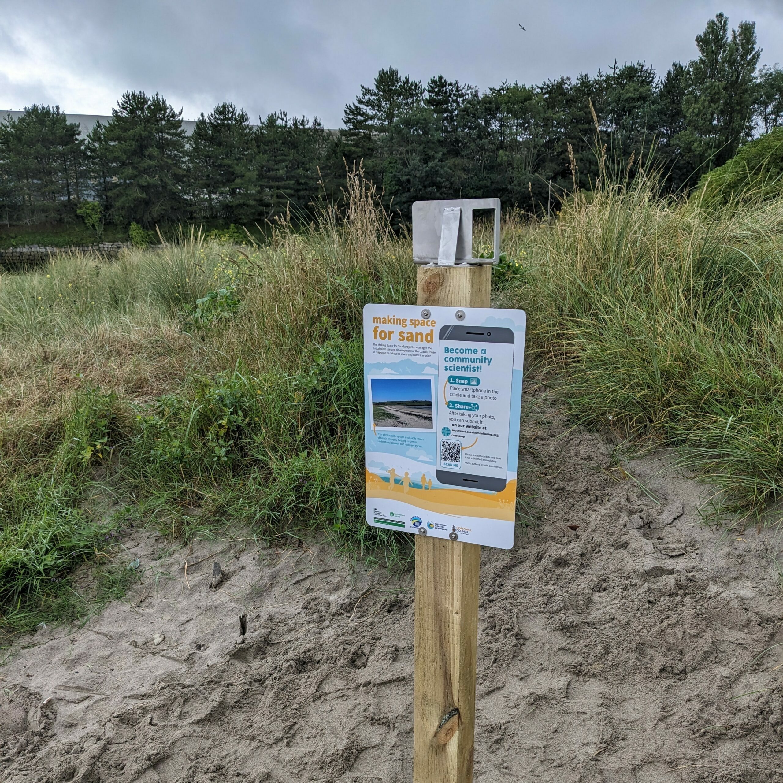
Par Sands, Cornwall
Adjacent to the beach entrance from the western car park.
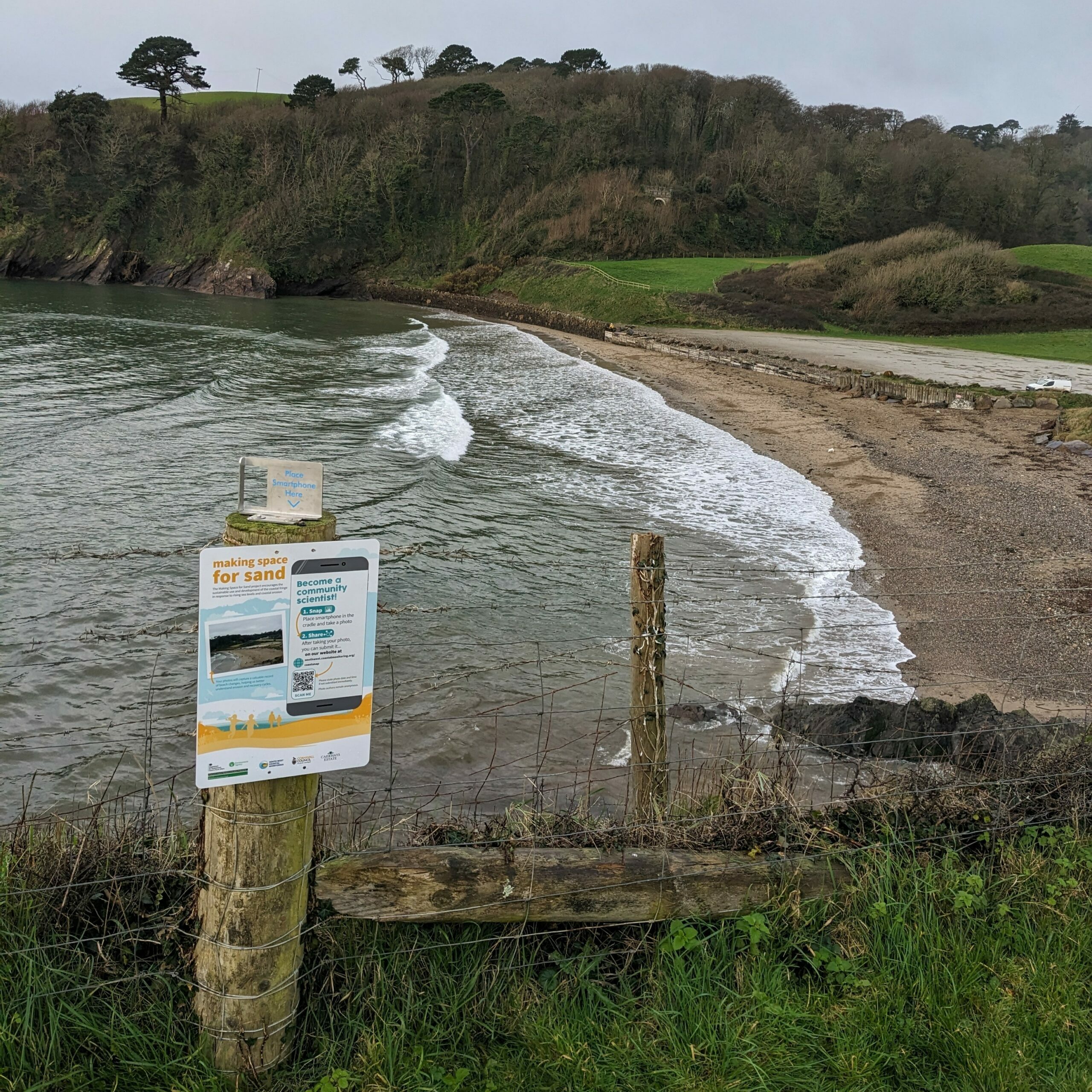
Caerhays, Cornwall
Along the SW coastpath to the East of the Beach.
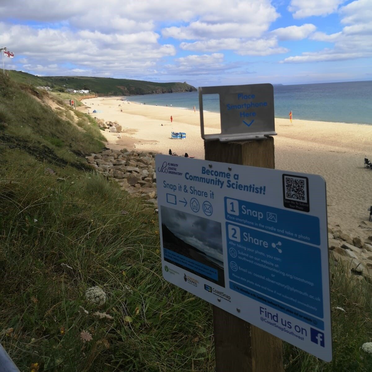
Praa Sands, Cornwall
At the entrance to the beach, directly in front of the main car park.
Penzance, Cornwall
At the southwestern end of Penzance promenade, opposite the supermarket.
Porthmeor, Cornwall
On the western side of the Island, adjacent to the SW Coast Path.
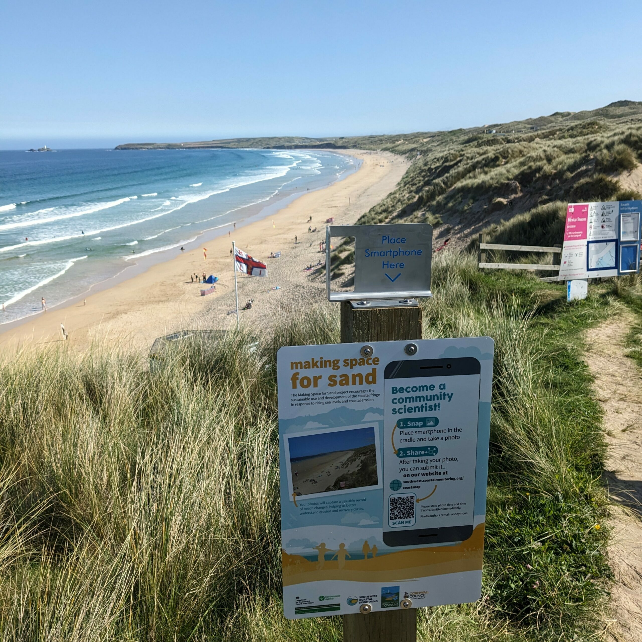
Mexico Towans, Cornwall
Adjacent to the beach entrance from the Riviere Towans holiday park.
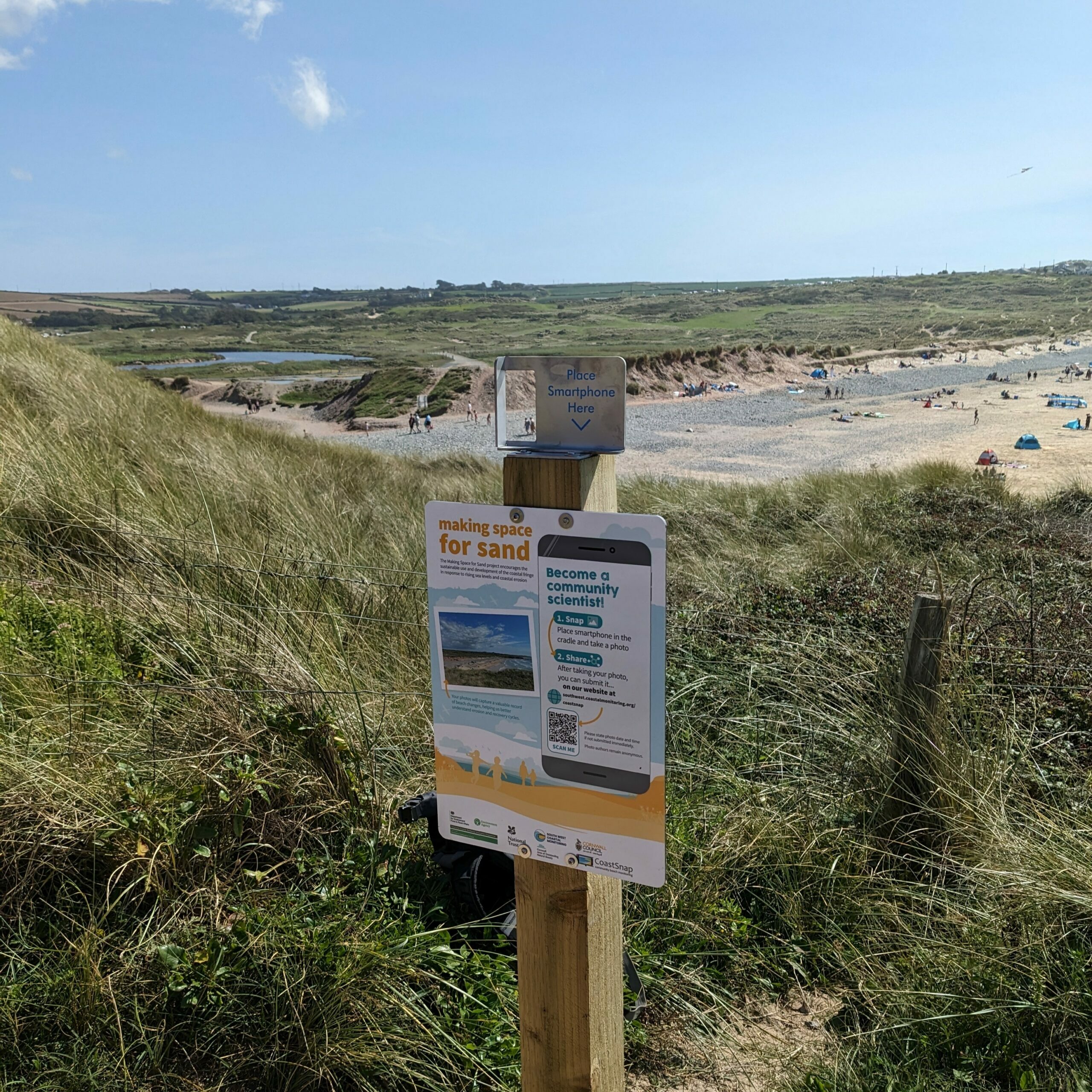
Godrevy, Cornwall
Along the main beach entrance from the National Trust carpark.
Perranporth, North Cornwall
On the southern headland, overlooking the beach near the sundial.
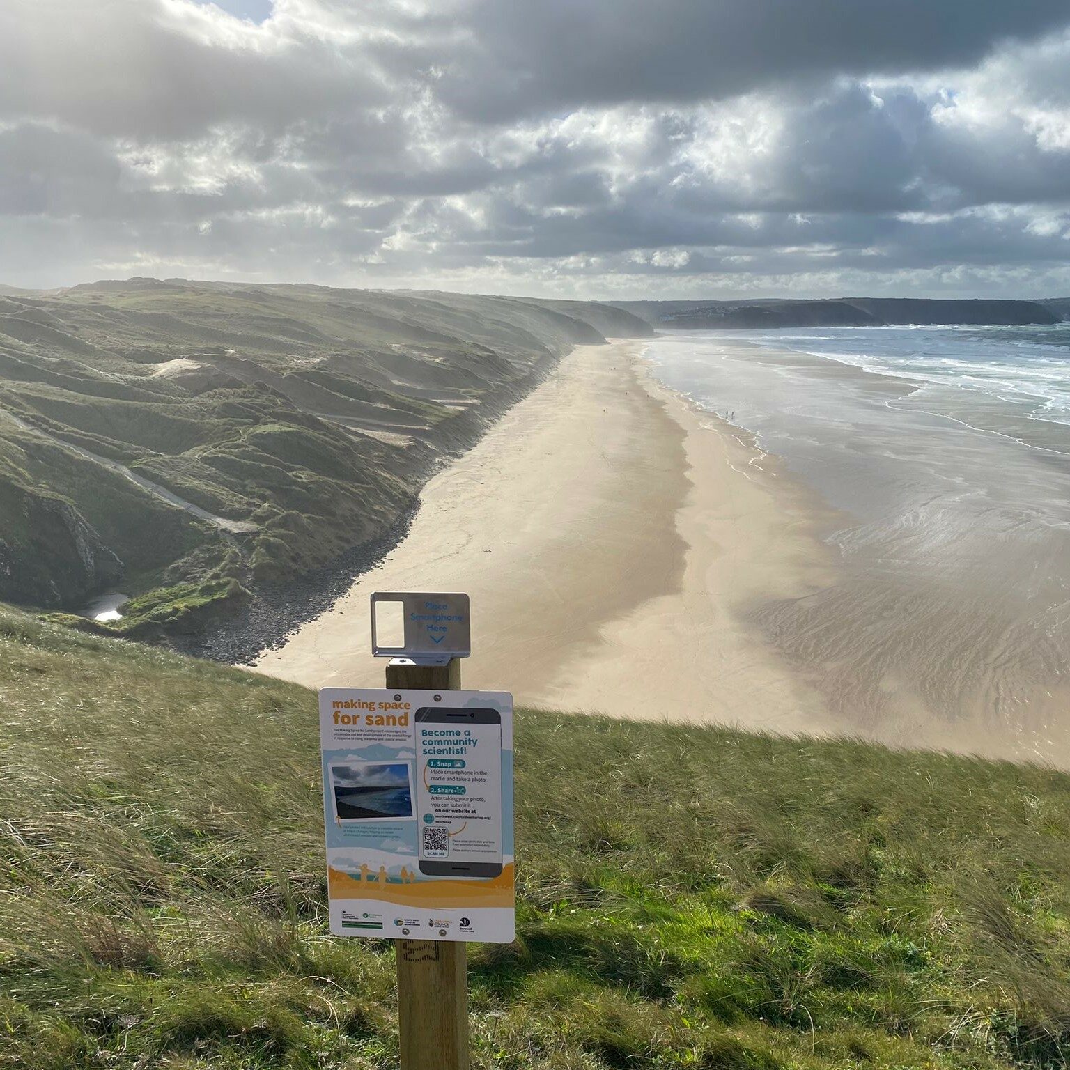
Penhale, Cornwall
To the north of the beach, along the SW coastpath.
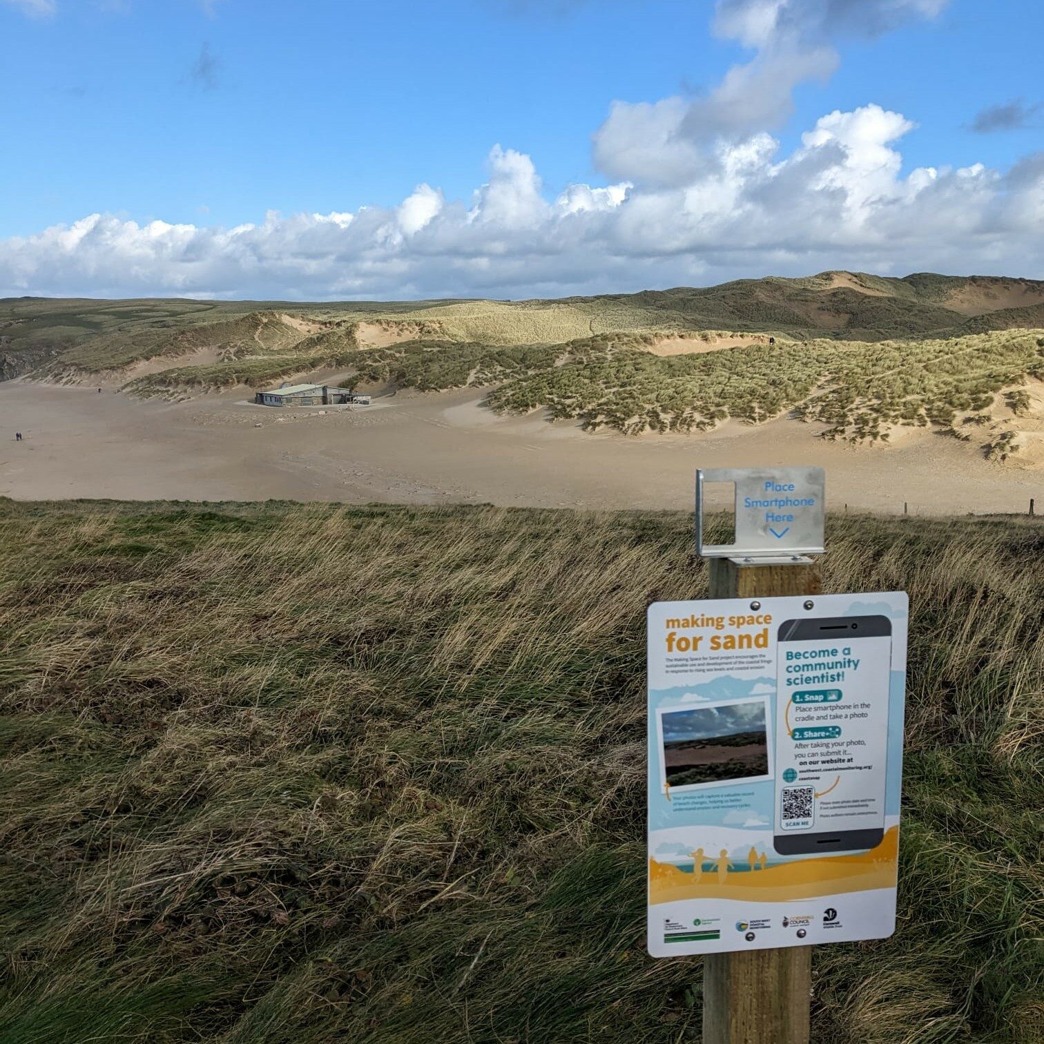
Holywell, Cornwall
To the south of the beach, along the SW coastpath.
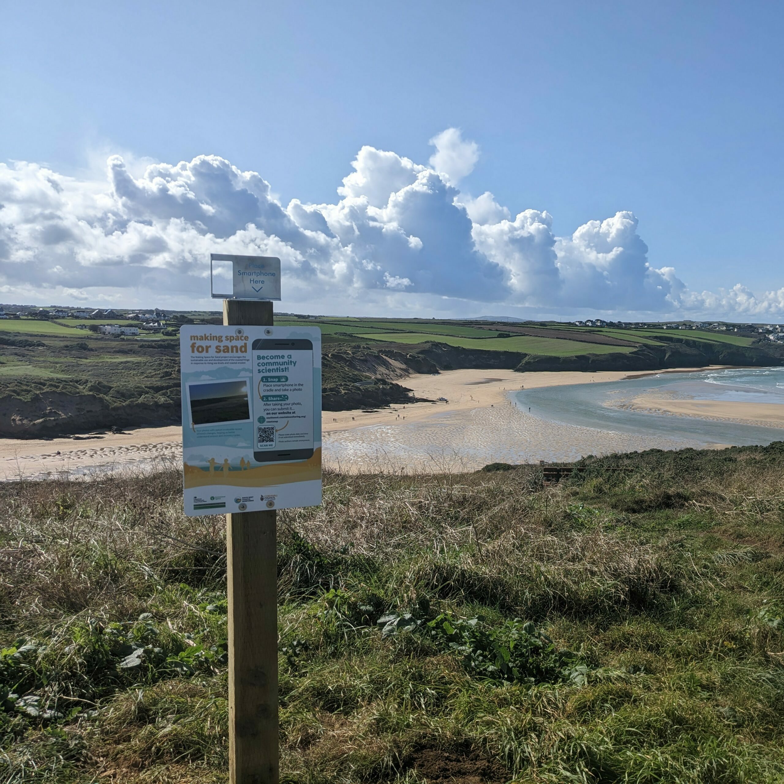
Crantock, Cornwall
Near the Pentire Head carpark, looking south.
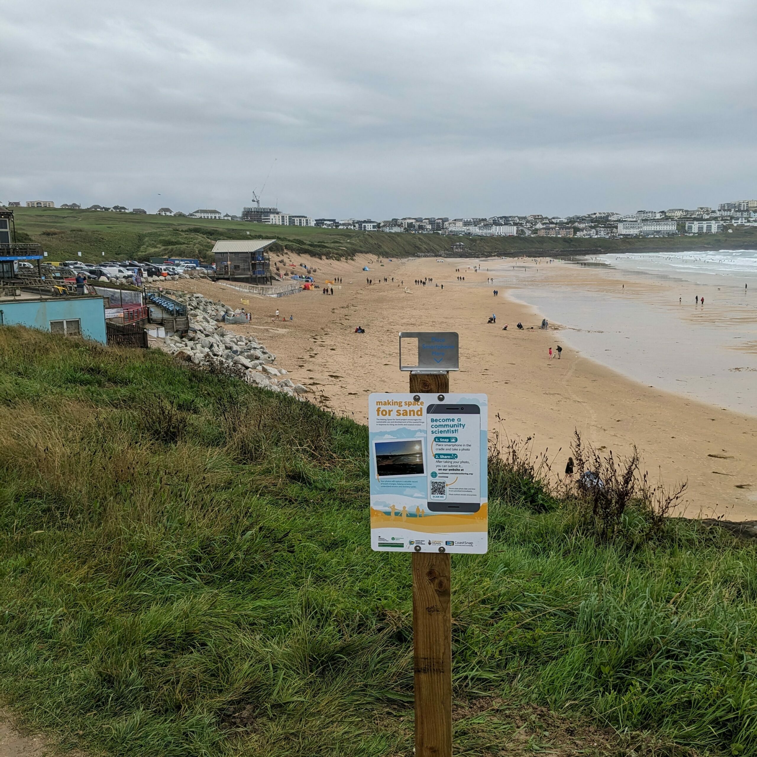
Fistral North, Cornwall
Along the headland walkway, beaneath the Hotel.
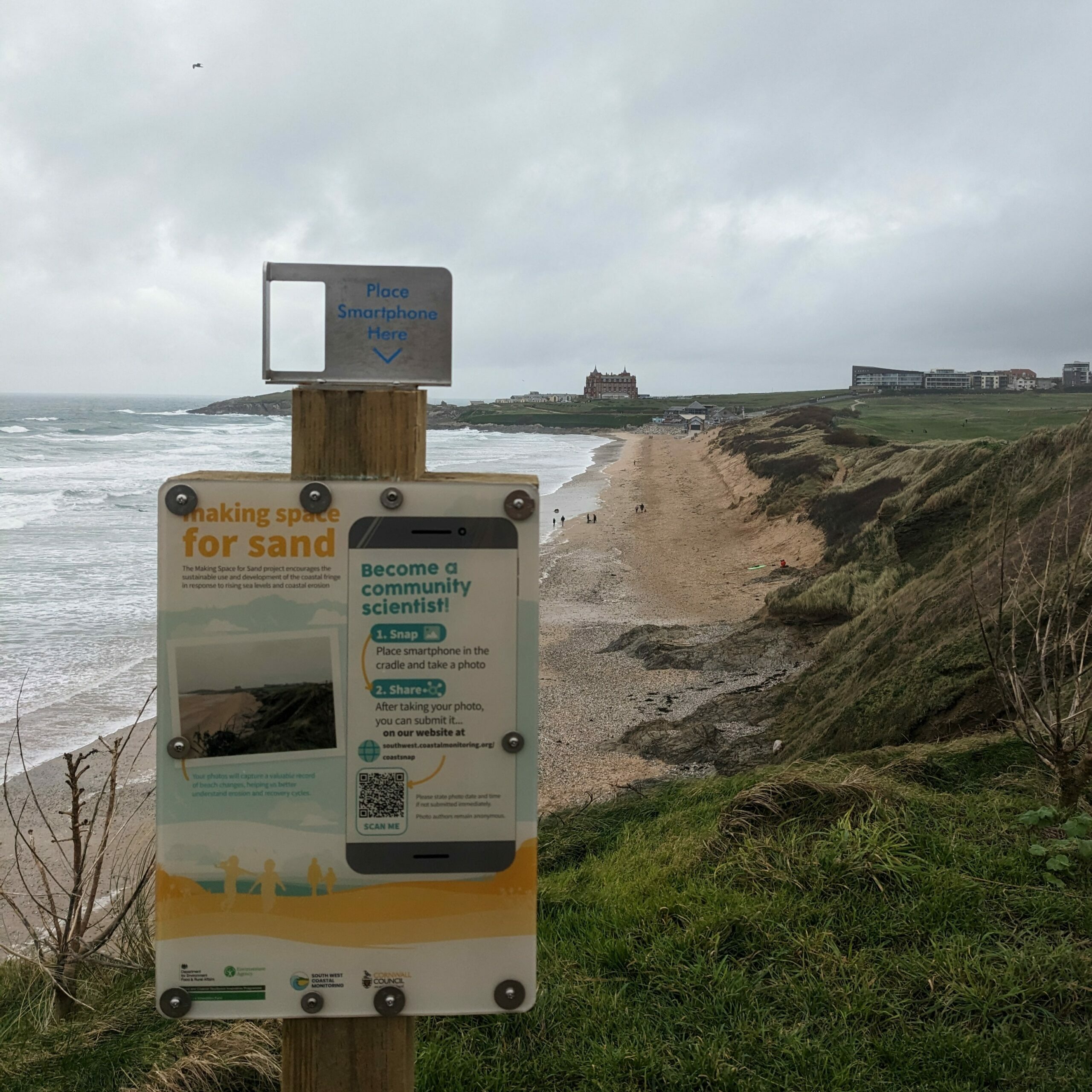
Fistral South, Cornwall
South of the beach, adjacent to the beach entrance.
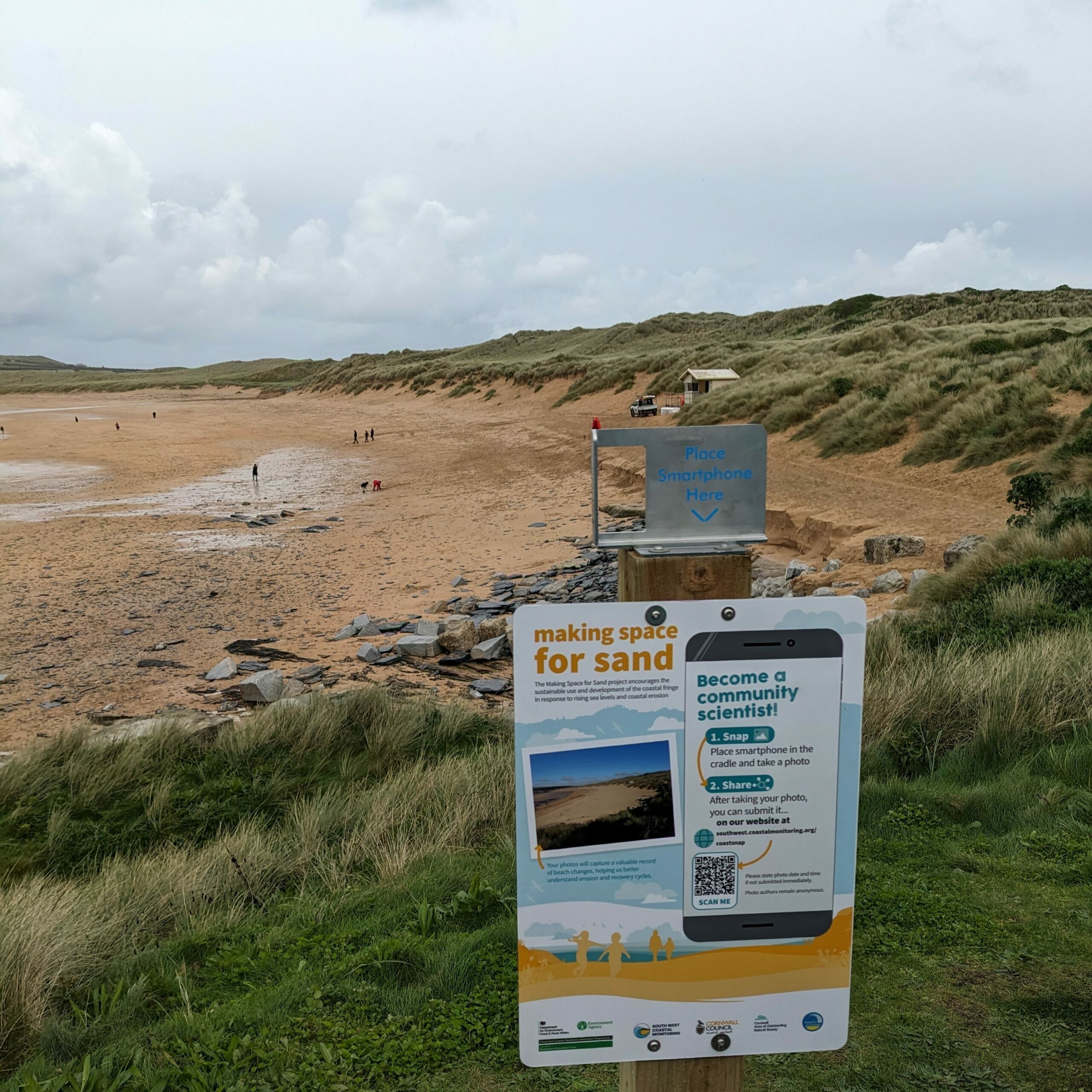
Constantine South, Cornwall
South of the beach, adjacent to the beach entrance.
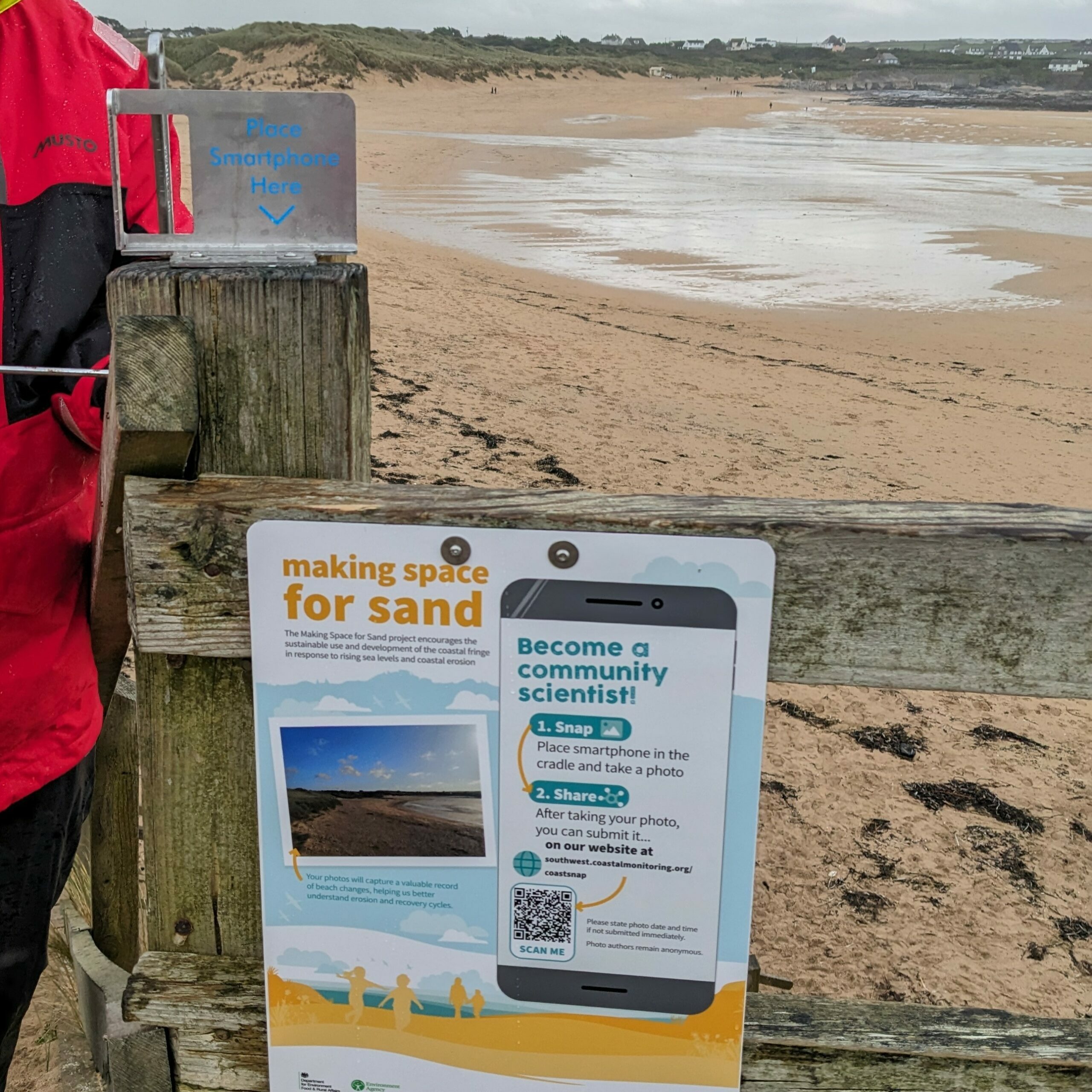
Constantine North, Cornwall
North of the beach, connected to the step structure.
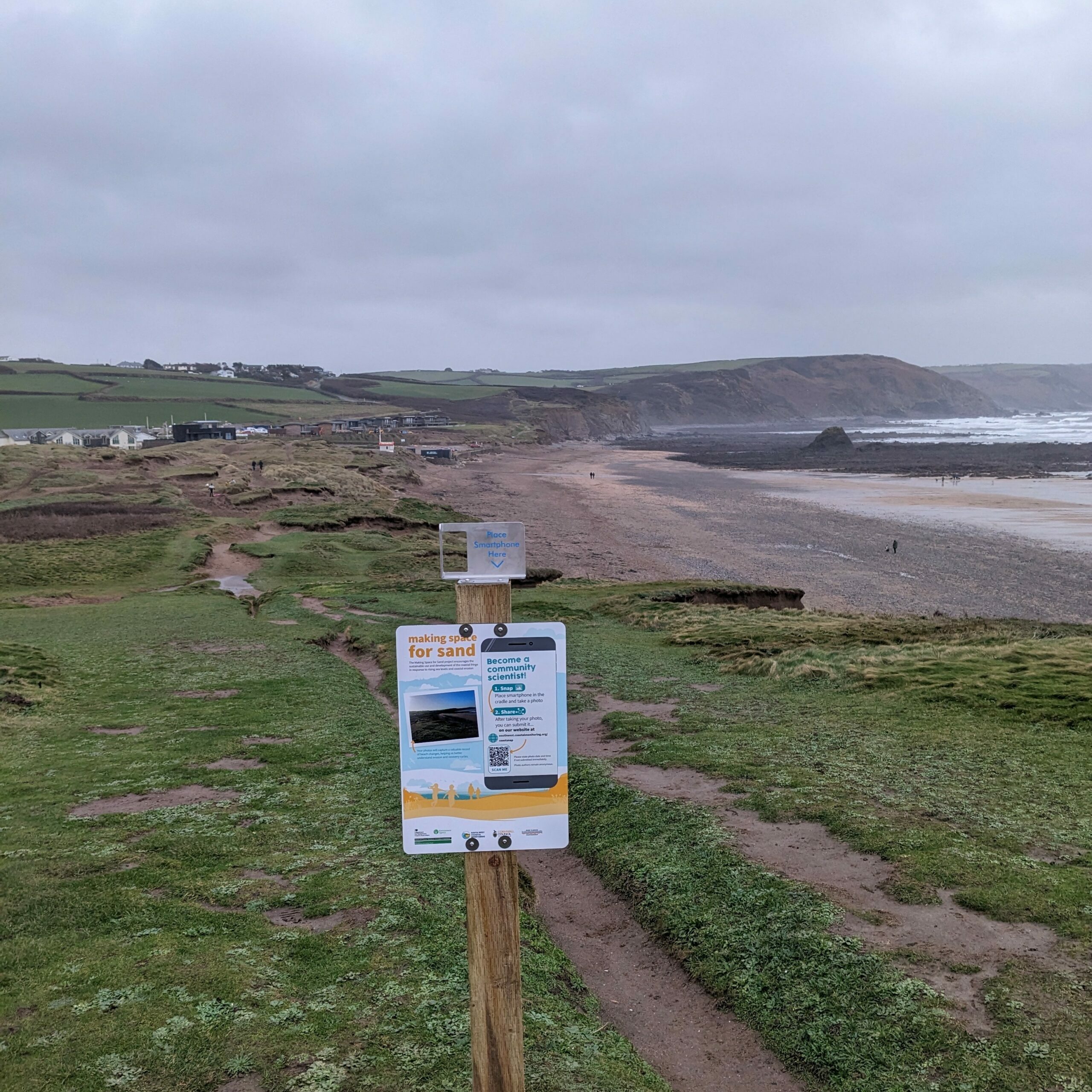
Widemouth, Cornwall
Between the two Widemouth beaches, looking south.
Westward Ho!, North Devon
On the sea wall, next to the beach entrance.
CoastSnap Origins
The original design and idea of CoastSnap belongs to the University of New South Wales, Water Research Laboratory team. CoastSnap is now a global network, to see other locations around the world, please visit the CoastSnap website.
Our primary objective is to capture the condition of the beaches, and we do not collect any personal data about the individuals submitting the images. Your privacy is of utmost importance to us.
Please note we do have a privacy policy, but the following are measures we take to protect your privacy for the CoastSnap Southwest project:
1.No Personal Data Collection: We do not collect any information about the person submitting the image. Your participation is entirely anonymous.
2.Review Process: Each image is reviewed to ensure that the central focus remains on the beach itself. Images depicting people as the primary subject will be rejected to maintain the project's focus on the condition of our beaches.
3.Face Blurring: In an effort to safeguard individual privacy, we automatically process, and blur faces in the images you submit. This is done to reduce the possibility of identifying individuals, aligning with our commitment to prioritising privacy.
4.Non-identifying Use: We want to emphasise that we do not process the photographs to learn anything about the individuals captured in the images. Our goal is to learn about the beaches without intruding into personal information.
5.Limited Processing: The photographs are not used to record, learn, or make decisions about individuals. The main purpose is to highlight the condition of our beaches.
It's important to mention that our approach is in stark contrast to commercial publishers (inc. newspapers), including newspapers, who may not follow similar privacy measures.
Your contributions play a crucial role in making our project a success. If you have any concerns or questions regarding the privacy aspects of our Community Science Project, please feel free to reach out.
Thank you for your valuable participation and commitment to understanding the evolution of our beaches!





Let's Keep In Touch
We’ll keep you up-to-date with all the latest news on this website, but we’d also love to be able to send the occasional update.
We promise we'll only use your details to tell you about what we’ve been doing.
