Topographic Surveys
One of the core data sets the Programme collects is topographic surveys. Over 370 individual surveys have been completed across 132 beaches since monitoring first began in 2007. The surveys capture accurate, detailed elevation data, to measure the height and shape of the beach. This elevation data captures a variety of coastal features such as beaches, sand dunes, rocks and sea defences. This data's primary purpose is used to compute changes in elevation which determine areas of the coast that are experiencing erosion or accretion.
Data Capture
The Programme collects interim surveys, surveying discrete and repeated profiles, which are carried out during the spring and autumn. Every five/six years, a full survey is carried out, including profiles and full continuous coverage. Sites identified at a higher risk, or with a beach management in place, receive a repeat full survey each summer.
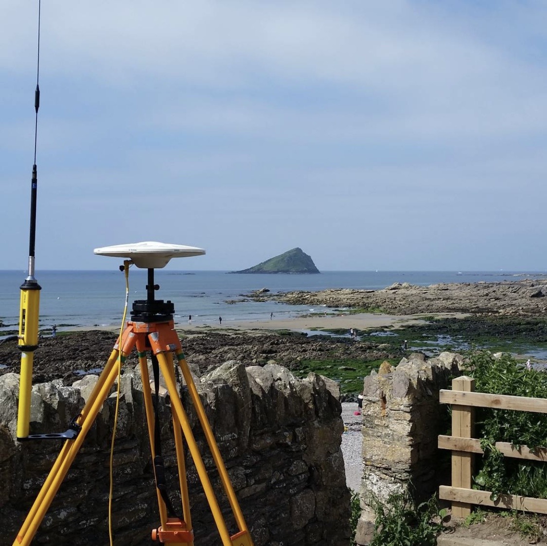
A topographic survey is carried out using Real-Time-Kinematic Global Navigation Satellite System (RTK GNSS) as the core survey method. This surveying technology measures accurate positions between two points, with the survey software removing errors in real time. The technique uses two GNSS receivers, one, the base station, remaining static over a known point and a rover that moves freely. The base station sends corrections to the rover which uses these to improve its position and achieve centimetre-level precision.
Precise elevation measurements, accurate to ~30 mm on the ground, are obtained either along predefined profiles across the beach or continuously over a large area. This information is either collected on foot, using a GNSS receiver mounted on a detail pole or backpack, or from an all-terrain vehicle (ATV) or Uncrewed Aerial Vehicle (UAV) where appropriate.
Data Outputs
Topographic data is collected along predefined profile lines, 50 m apart, at a spacing of 5 m. This data is then used to create a 2D profile of the beach, which is then used to calculate the cross-sectional area of the beach and compared to previous surveys to identify and calculate areas of change. Certain surveys carried out by our Programme collect continuous, spot height data at 5 m spacing across the entire beach. This allows for elevation surfaces to be generated and compared to previous surveys to identify areas of change.
Each spot height is classified using a feature code to identify the surface type (e.g. gravel, sand etc). During the topographic baseline surveys in summer 2017 and 2022, some of our survey units were surveyed using photogrammetry or an UAV mounted LiDAR system. Point cloud data and orthophotos are available on request as a by-product of this dataset.
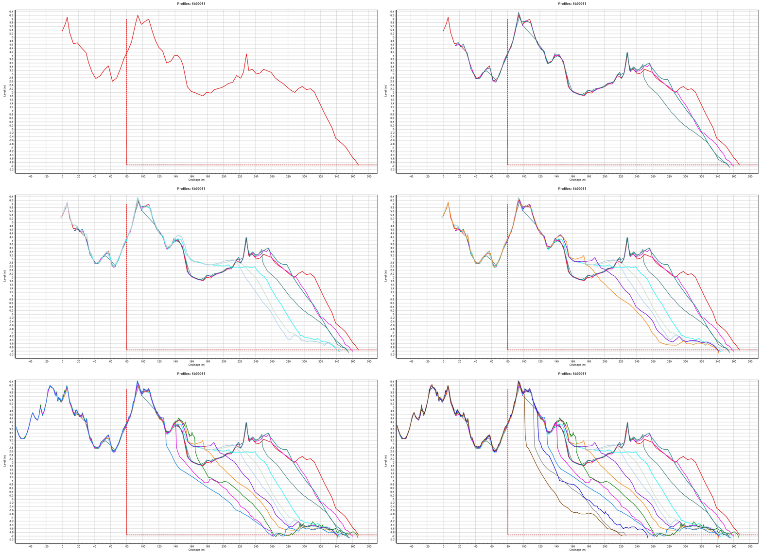
An example of topographic profile data used for cross-sectional analysis at Dawlish Warren, South Devon
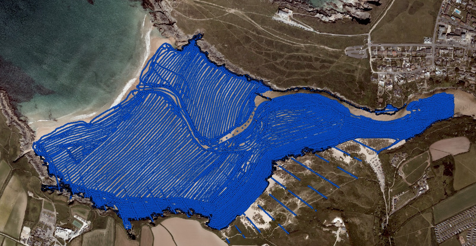
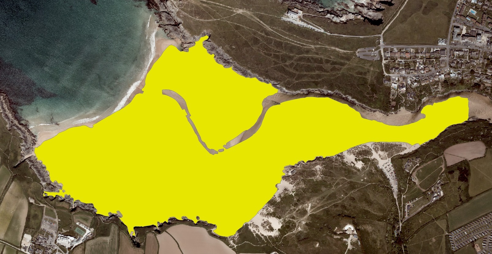
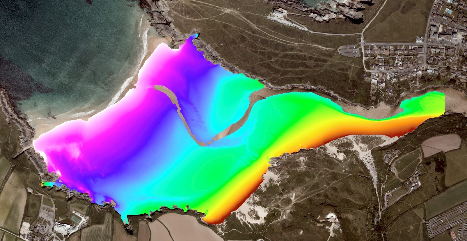
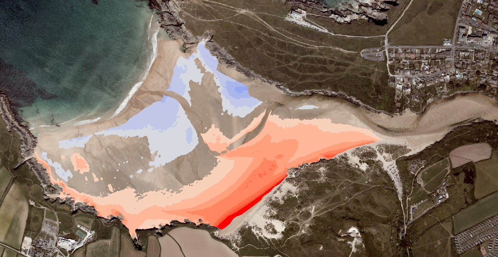
Example of 5 m gridded continuous topographic data processed to show elevation change for Crantock, North Cornwall


Let's Keep In Touch
We’ll keep you up-to-date with all the latest news on this website, but we’d also love to be able to send the occasional update.
We promise we'll only use your details to tell you about what we’ve been doing.
