Four Action-Packed Days with the South West Coastal Monitoring Programme
Last week, we hosted a group of enthusiastic work experience students for a whirlwind four-day placement with us – and what a week it was!
Day 1: Surveying Bigbury
We kicked things off with a topographic beach survey at Bigbury-on-Sea. The students got hands-on with GNSS (satellite surveying) equipment, helped test out some new kit, and collected real data used in our monitoring work (Figures 1 & 2).
Day 2: Blown Away at Bantham & Thurlestone
A blustery field day exploring the dunes and erosion at Bantham and Thurlestone gave the students a close-up look at how natural processes shape our coast. The wind nearly carried us off, but it was the perfect backdrop for learning about dynamic coastal systems.
Day 3: Mount Batten & Plymouth Sound
Day three consisted of a trip to Mount Batten with our assets team to inspect coastal defences and learn about asset management. Then it was on to the water, with a boat trip in Plymouth Sound alongside the University of Plymouth’s Marine Station team to see innovative survey techniques and coastal features from a new perspective (Figures 3 & 4). This was a great opportunity for the students to have a tour of the Marine Station and see what marine courses the University of Plymouth offer, ranging from Marine Autonomous Systems, Marine Biology, Oceanography, Diving and Ocean Exploration. We even got the chance to have a look at some local marine wildlife, captured from the Sound, including starfish, crabs, sea squirts and clams.
Day 4: Python and the Wave Tank
The final day took us on a tour of the University of Plymouth’s wave tank facilities. Here, the students saw a live gravel barrier experiment in the flume – a unique chance to see coastal modelling in action. Back in the office, the students worked with our GIS lead to try out some Python programming and learn how we analyse coastal data.
Oh, and yes – we made time for some doughnuts too.
A huge thanks to the students for bringing such energy and curiosity to every activity. From stormy fieldwork to coding, boats and flumes, we hope it gave a real taste of what coastal science is all about!
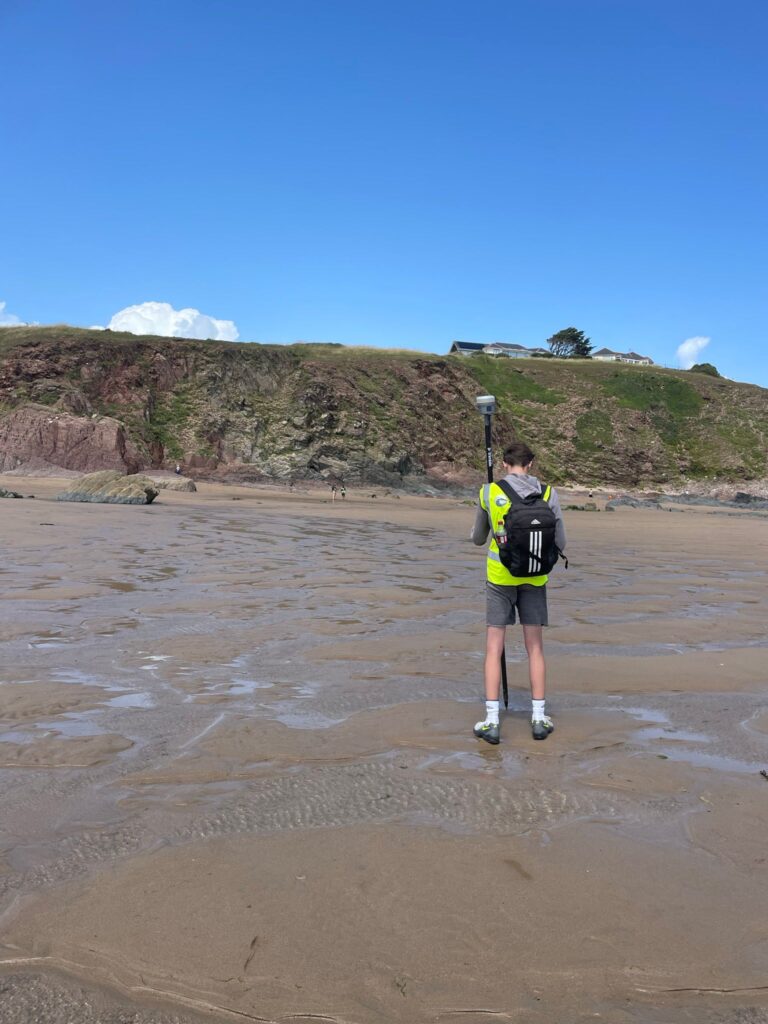
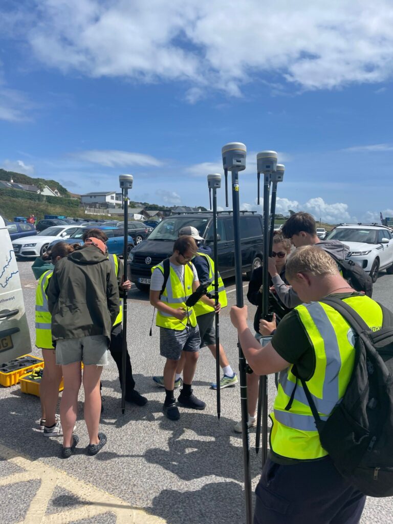
Figures 1 & 2: Learning to surveying at Bigbury (south Devon) using Trimble R980 GNSS equipment.
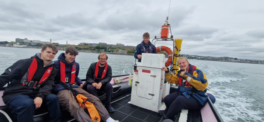
Figure 3: A tour of Plymouth Sound, understanding what kind of marine research occurs on our doorstep.
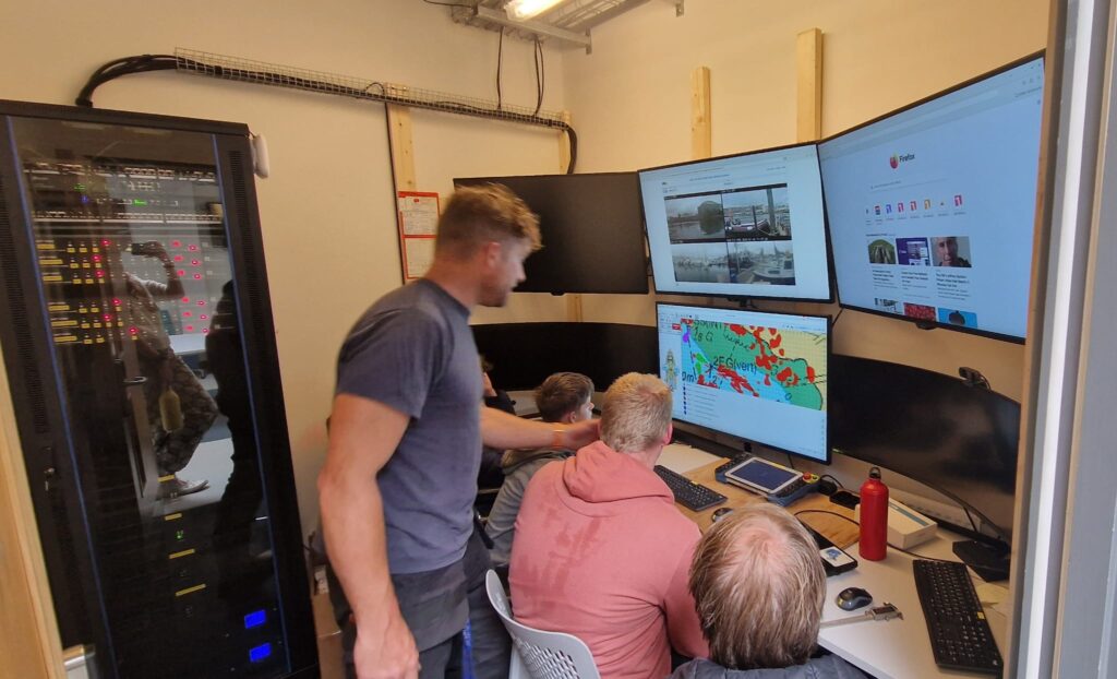
Figure 4: An insight of how you can control a remotely operated vessel (USV), which is out on the water, from the safety of a classroom in the Remote Operations Center (ROC).
Let's Keep In Touch
We’ll keep you up-to-date with all the latest news on this website, but we’d also love to be able to send the occasional update.
We promise we'll only use your details to tell you about what we’ve been doing.