This week, two colleagues from the South West Coastal Monitoring Programme joined Rob from the Maritime Coastguard Agency for a site visit to Fowey, meeting with the contractors, A-2-Sea, who are currently surveying Seaton/Looe and Par Sands.
The morning was spent aboard the survey vessel White Ribbon, where the team were shown the multi-beam echosounder setup and how live bathymetric data is captured on board. The contractors demonstrated how the system feeds into the vessel’s computers, allowing hydrographic surveyors to visualise seafloor data in real-time and make immediate adjustments when needed.
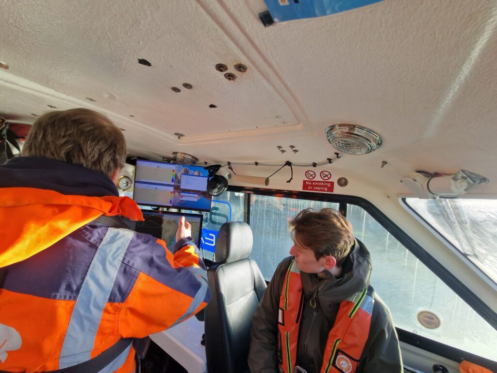
Figure 1. Inside White Ribbon, observing how the data feeds into the computer systems.
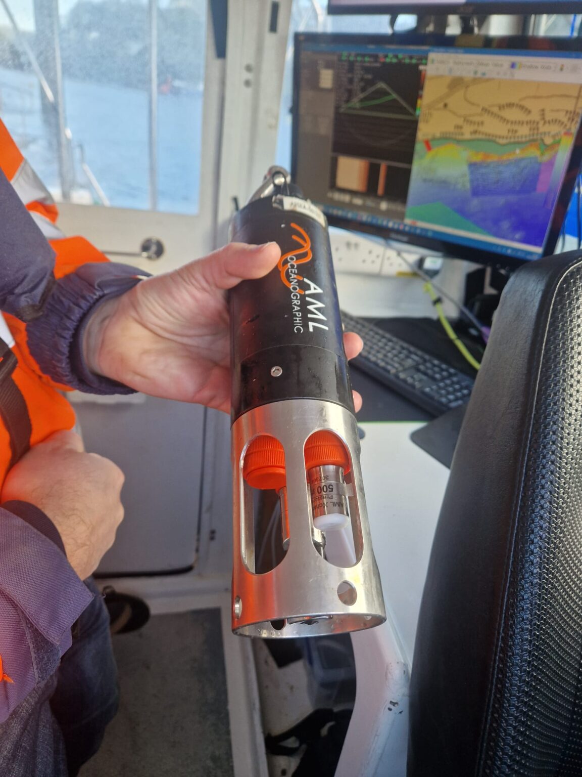
Figure 2. A sound velocity profiler, used to detect variations in the speed of sound caused by various factors such as salinity and temperature.
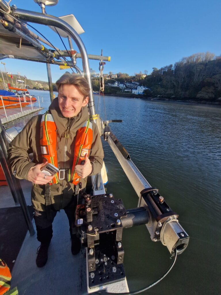
Figure 3. Jonathan inspecting the multi-beam sensor and rotating pole attachment, off the side of the vessel.
In the afternoon, attention turned to the datasets already collected. The team reviewed various aspects of the bathymetry, explored areas where dense vegetation affects the readings, and asked detailed questions about data quality and interpretation. It is incredibly helpful for the team at SWCM to understand how the data is collected. For example, there will be areas along the coast where the vessel will not be able to make the Mean Low Water Neap (MLWN) contour, due to the nature of the coastline and dangerous rocks lurking in the shallow water, which could potentially damage the vessel or the sensor. Luckily, A-2-Sea have a sacrificial resin block, which if knocked, will cause the arm of the multi-beam to automatically retract – stopping the expensive multi-beam sensor from being damaged.
The visit provided valuable insight into the surveying process and the depth of expertise required to produce accurate coastal monitoring data, which plays a crucial role in understanding and managing our dynamic coastline. A big thank you to A-2-Sea for hosting us, and good luck with the remaining areas left to capture!
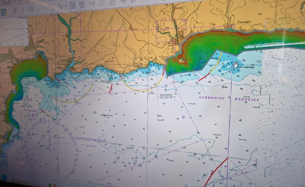
Figure 4. Preliminary raw bathymetry data captured from Seaton/Looe and Par Sands.
Let's Keep In Touch
We’ll keep you up-to-date with all the latest news on this website, but we’d also love to be able to send the occasional update.
We promise we'll only use your details to tell you about what we’ve been doing.