Reports and Analysis
We not only collect and quality control data, but we analyse it as well.
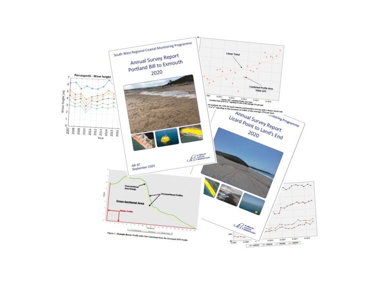
Annual Reports
Our annual survey reports have been replaced by our new Interactive Dashboard!
The dashboard is an interactive and intuitive tool to analyse the latest and historic topographic data for all surveyed beaches in the South West and will give you access to the latest analysis as soon as the data becomes available.

You can still access all our historic annual topographic survey reports (2009 - 2022) on the National Coastal Monitoring website. Our annual survey reports present an overview of beach change from topographic surveys, along with wave and tidal measurements.
The reports contain detailed change analysis on all surveyed beaches, focusing on two main epochs, the yearly change and the historic change compared to the first survey ever completed. These reports were superseded in 2023 by the Interactive Dashboard, however the last report from 2022 is available to view below.
Post Storm Reports
Post storm reports analyse and present an overview of the hydrodynamics and beach morphological changes which occur during a storm event.
Topographic post storm surveys are generally completed within 48 hours of a storm event, or as soon as it is safe do to so, and capture a select number of profiles at the most vulnerable points along a beach. A post storm survey is conducted if there has been significant change to one of our beaches and is often triggered by storm threshold exceedance of nearby wave buoys. The post storm survey data is compared with the most recent survey completed.
Where a storm causes enough widespread damage, reports have previously been produced. These reports have been superseded by the ability to view post storm surveys as soon as we receive them via our interactive dashboard.
For a full list of all post storm surveys completed by SWCM please click here
To download the most recent post storm reports, please click below.
Portland Bill to Start Point (TSW01)
Gribbin Head to Land’s End (TSW02)
Land’s End to Hartland Point (TSW03)
Hartland Point to Beachley (TSW04)

Wave, Tide and Weather Reports
Annual wave, tide and weather reports are compiled for the entire National Coastal Monitoring Network and contain the annual results of the statistical analysis of the quality controlled data for the network.
Other Reports
We have produced other targeted reports which can be found here:
Strategic Reports
- South West Beach Response to Wave Conditions During the 2013-2014 Winter
- South West Beach Recovery Since Winter 2013-2014
Technical Reports



















Let's Keep In Touch
We’ll keep you up-to-date with all the latest news on this website, but we’d also love to be able to send the occasional update.
We promise we'll only use your details to tell you about what we’ve been doing.