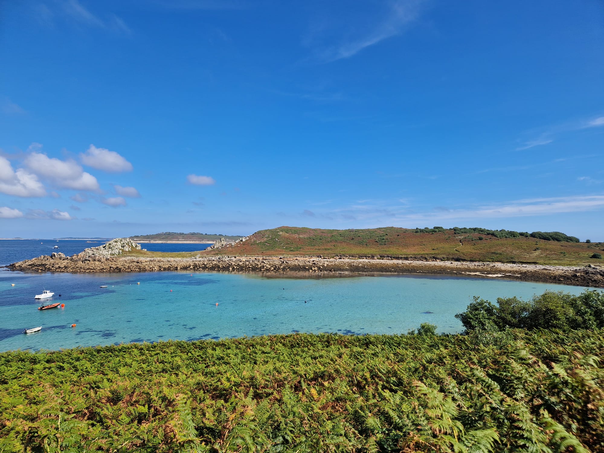
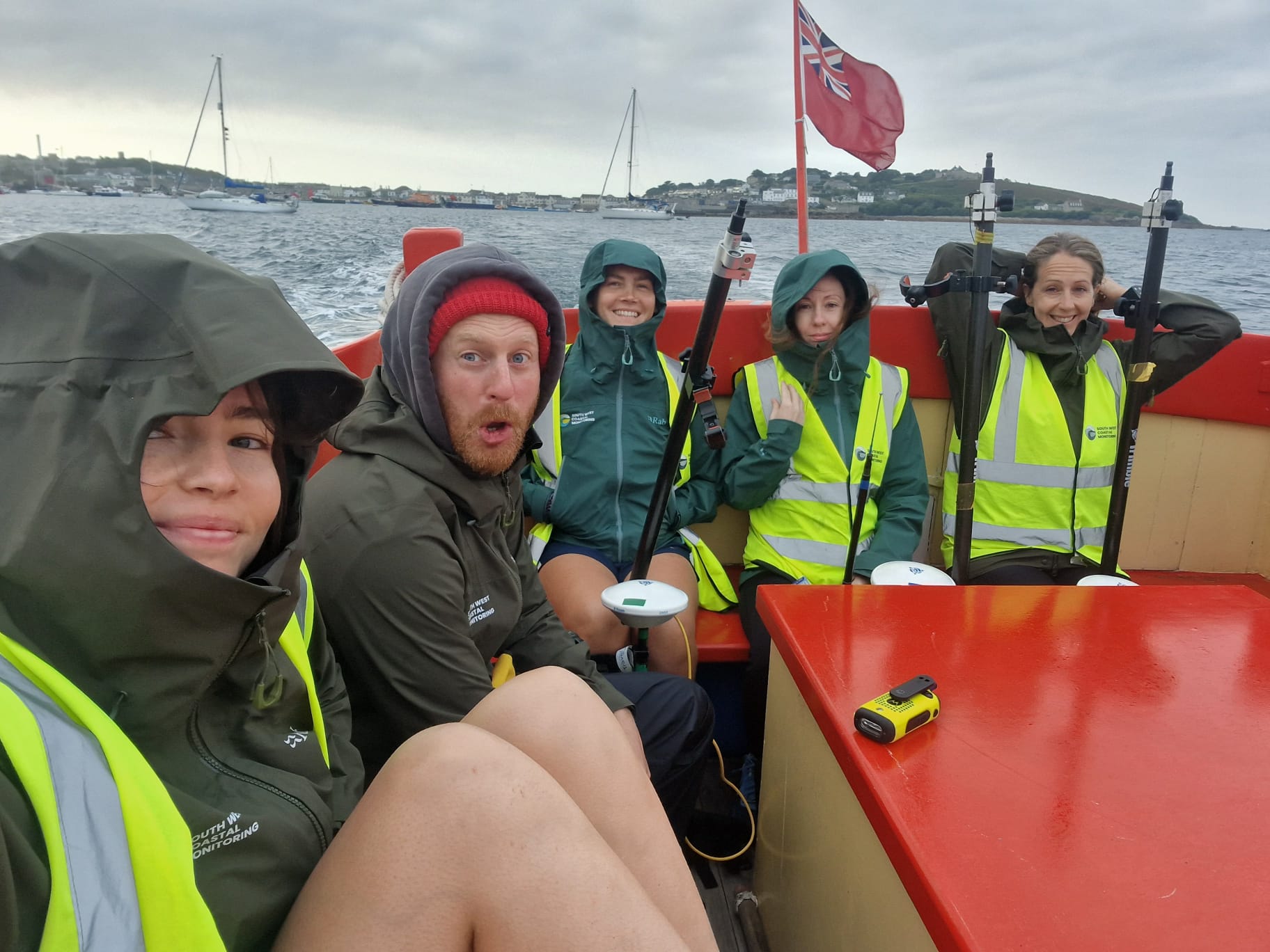
The South West Coastal Monitoring team recently made a successful trip out to the Isles of Scilly, conducting topographic surveys across the archipelago. This project involved surveying all five of the inhabited islands: St Mary’s, St Martin’s, Bryher, Tresco, and St Agnes.
The team set out with a tight schedule and encountered some unexpected challenges at the outset. Initial equipment issues presented a hurdle, but the team was able to resolve these technical setbacks and complete the survey work as planned.
 Why Topographic Surveys Matter
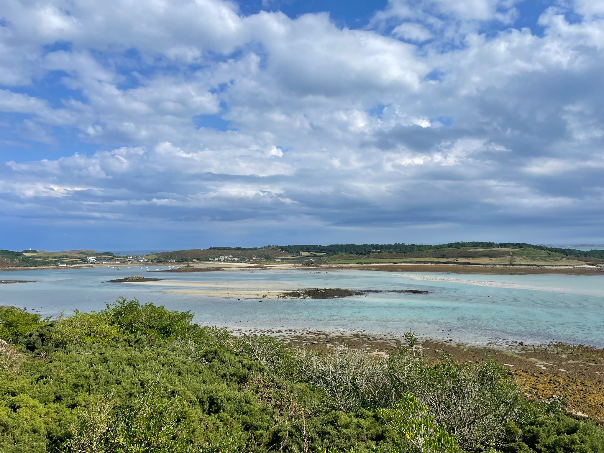
Topographic surveys are essential for monitoring coastal changes and managing risks such as erosion, sea-level rise, and flooding. By monitoring long-term coastal change, the South West Coastal Monitoring team can provide valuable insights for environmental management and local planning. This kind of data is particularly significant for the Isles of Scilly, where unique ecosystems and communities are directly impacted by the forces of nature.
What Happens Next?
Following the completion of the on-site work, the data is now in the process of quality control. The team is carefully reviewing the gathered data to ensure its accuracy. Once this phase is complete, the survey data will be uploaded to the National website, where it will be freely available for public access.
Let's Keep In Touch
We’ll keep you up-to-date with all the latest news on this website, but we’d also love to be able to send the occasional update.
We promise we'll only use your details to tell you about what we’ve been doing.