Skip to content

coastal.observatory@plymouth.ac.uk

Full-Logo
  • Home
  • About
  • Data
    • Interactive Dashboard
    • Map Viewer
    • Data Types
      • Aerial Photography
      • Bathymetry
      • Coastal Assets
      • Habitat Mapping
      • LiDAR
      • Topographic Surveys
      • Waves, Tides and Weather
      • Other Data
    • Realtime Data
    • Reports and Analysis
  • News
  • Projects
    • CCMA
    • Coastsnap
      • Photo Upload
    • Partner Reports and Analysis
      • BMPs and BDMPs
    • Shoreline Management Plans
    • MS4S
    • National Coastal Erosion Risk Mapping (NCERM) and Flood Zones
  • Resources
    • Education
    • Annual Meetings
    • Survey Schedule
    • Useful Shapefiles
CONTACT

Posts by Jonathan Bailey

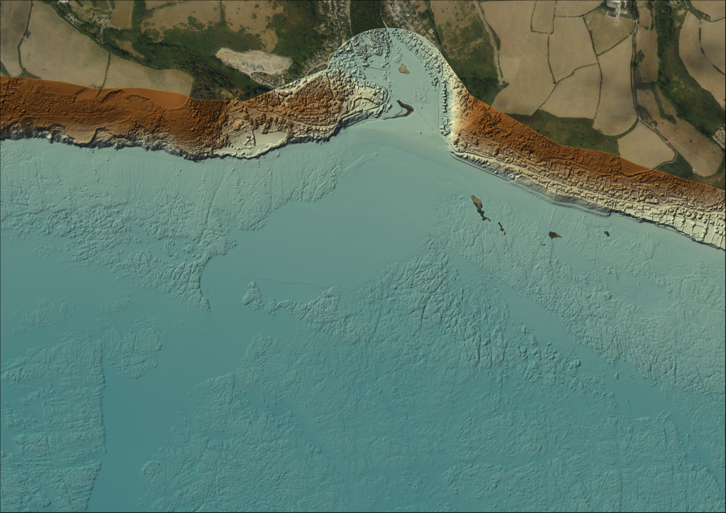
What lies beneath – new bathymetry for Par and Seaton, South Cornwall
By Jonathan Bailey | 10 November 2026 | 0

Last autumn our contractors, A-2-Sea Solutions Ltd, surveyed bathymetry (seabed depths) at Par and Seaton, covering nearly 55 km2 in total (see Field Visit to Fowey: Behind the Scenes of Bathymetric Data Collection – Southwest Coastal Monitoring).   These in-shore areas had not been surveyed for over 10 years and coastal engineers wanted to see how…

Read More

Recent Posts

  • What lies beneath – new bathymetry for Par and Seaton, South Cornwall
  • Five go surveying on the Isles of Scilly
  • Inspiring the Next Generation of Coastal Scientists
  • Exploring the Tamar Estuary habitats
  • Five Islands in A Week: Surveying Across the Isles of Scilly

Recent Comments

No comments to show.
Full-Logo-WhiteBG
Green-Server-Logo-Transparent

Contact Us

South West Coastal Monitoring

Plymouth Coastal Observatory
University of Plymouth
Plymouth, Devon, PL4 8AA

coastal.observatory@plymouth.ac.uk

01752 586155

Links

Sitemap

Cookies policy

Privacy Policy

Terms of Use

© 2026 South West Coastal Monitoring. All Rights Reserved. Website by Daneswood.