Bathy
What lies beneath – new bathymetry for Par and Seaton, South Cornwall
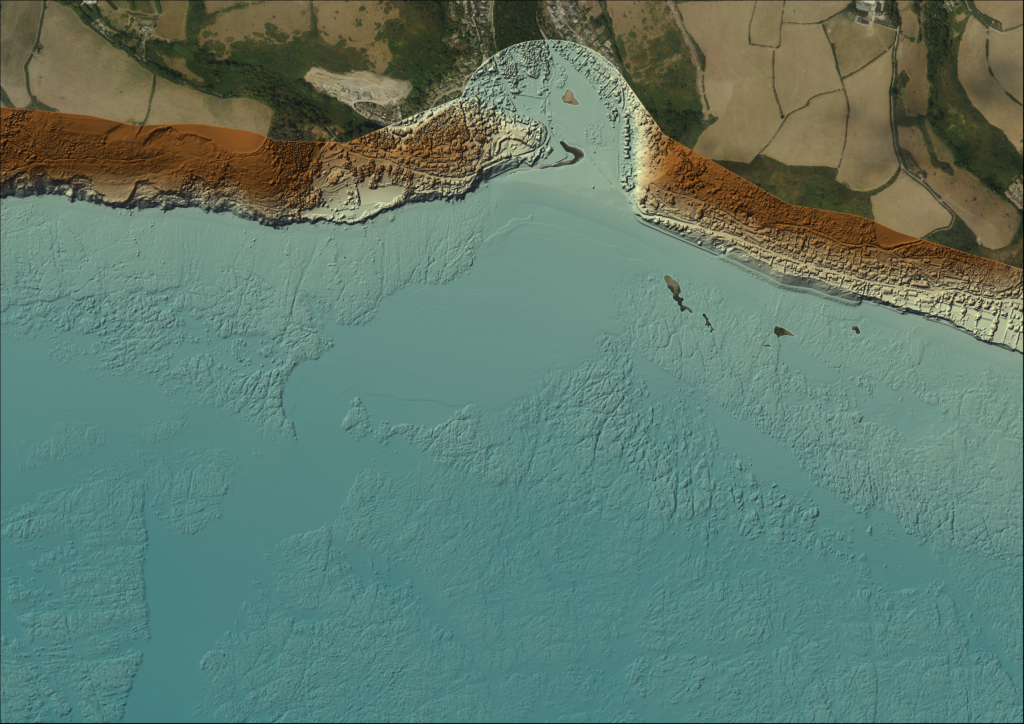
Last autumn our contractors, A-2-Sea Solutions Ltd, surveyed bathymetry (seabed depths) at Par and Seaton, covering nearly 55 km2 in total (see Field Visit to Fowey: Behind the Scenes of Bathymetric Data Collection – Southwest Coastal Monitoring). These in-shore areas had not been surveyed for over 10 years and coastal engineers wanted to see how…
Read MoreField Visit to Fowey: Behind the Scenes of Bathymetric Data Collection
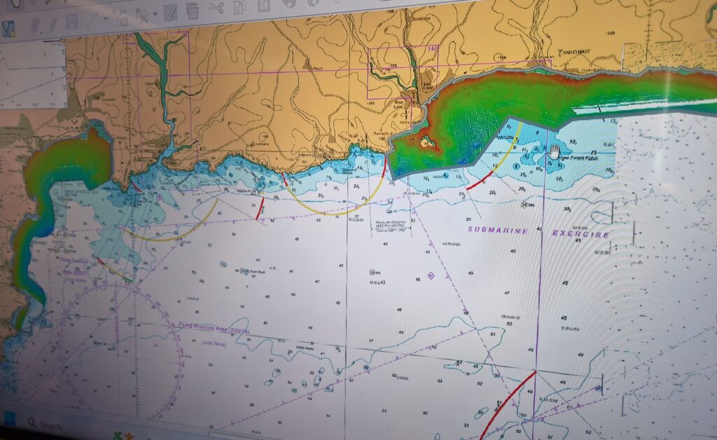
This week, two colleagues from the South West Coastal Monitoring Programme joined Rob from the Maritime Coastguard Agency for a site visit to Fowey, meeting with the contractors, A-2-Sea, who are currently surveying Seaton/Looe and Par Sands. The morning was spent aboard the survey vessel White Ribbon, where the team were shown the multi-beam echosounder…
Read MoreExploring the depths: new bathymetry for North Cornwall and Devon

We have recently completed several offshore surveys to capture detailed sea depth data (multibeam bathymetry) for sites in North Cornwall and Devon. Surveys were at St Ives Bay, Perranporth/the Gannel, the Camel Estuary, Bude and Bideford Bay/the Torridge Estuary. Why multibeam bathymetry matters Multibeam bathymetry is an advanced survey technique that uses sonar (sound waves)…
Read MoreUSV Yellow Tin: a rapid method for bathy collection

Why is it so important to measure the seabed? Have you ever wondered what the seabed looks like under the water at your local beach? Understanding what the seabed looks like and how material moves can give us a much better insight into how our coastlines are changing. When a storm hits our coastline, it…
Read More