Posts by Issie Kelly
Storm Impacts at Crantock: What the Latest Surveys Show
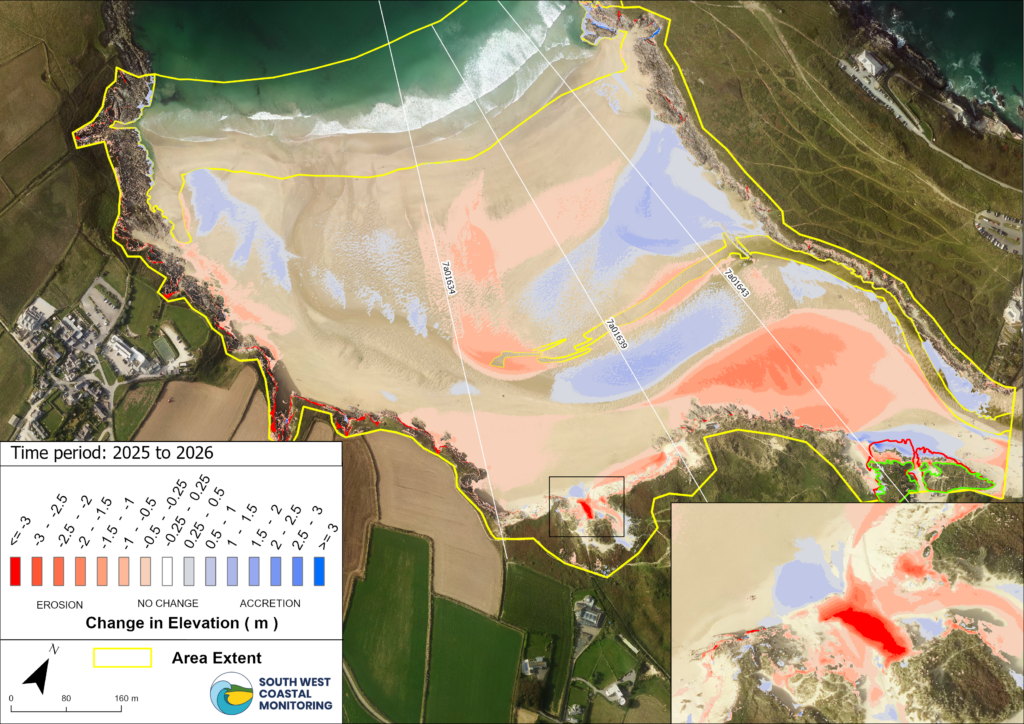
This year’s run of winter storms has left a mark on Crantock Beach, North Cornwall. Our latest coastal monitoring survey highlights significant changes to both the beach levels and parts of the dune system, particularly in the centre and towards the northern end of the bay. Our most recent beach elevation change map, Figure 1…
Read MoreField Visit to Fowey: Behind the Scenes of Bathymetric Data Collection
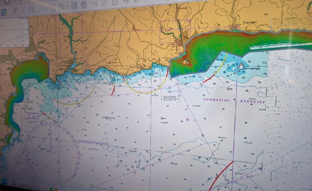
This week, two colleagues from the South West Coastal Monitoring Programme joined Rob from the Maritime Coastguard Agency for a site visit to Fowey, meeting with the contractors, A-2-Sea, who are currently surveying Seaton/Looe and Par Sands. The morning was spent aboard the survey vessel White Ribbon, where the team were shown the multi-beam echosounder…
Read MoreBehind the Waves: Our Visit to Datawell
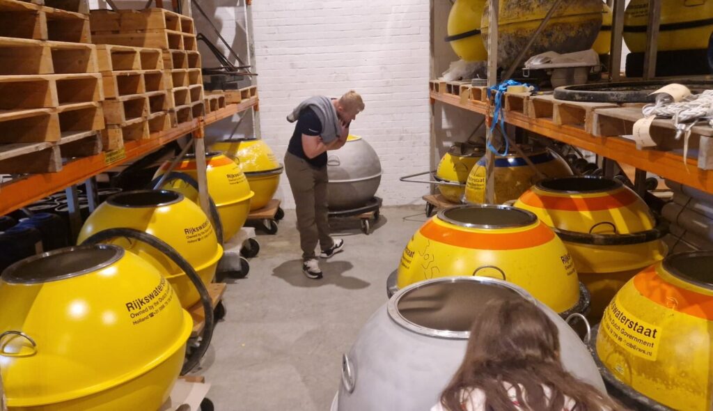
Earlier this month, a member of the SWCM team headed to the Netherlands for a two-day visit, with members from the Channel Coastal Observatory, Fugro and RS Aqua to meet with the team at Datawell (see figure 1) – the experts behind our world-renowned wave buoys, Directional Waverider MkIII. The trip offered a rare, behind-the-scenes…
Read MoreWork Experience with a Difference
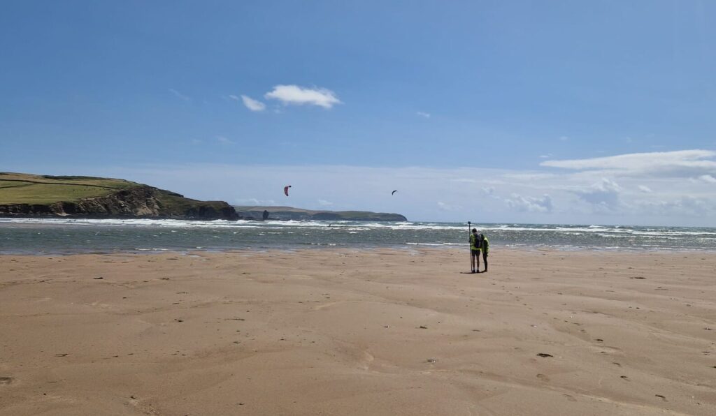
Four Action-Packed Days with the South West Coastal Monitoring Programme Last week, we hosted a group of enthusiastic work experience students for a whirlwind four-day placement with us – and what a week it was! Day 1: Surveying Bigbury We kicked things off with a topographic beach survey at Bigbury-on-Sea. The students got hands-on…
Read MoreExploring the depths: new bathymetry for North Cornwall and Devon

We have recently completed several offshore surveys to capture detailed sea depth data (multibeam bathymetry) for sites in North Cornwall and Devon. Surveys were at St Ives Bay, Perranporth/the Gannel, the Camel Estuary, Bude and Bideford Bay/the Torridge Estuary. Why multibeam bathymetry matters Multibeam bathymetry is an advanced survey technique that uses sonar (sound waves)…
Read MoreIsles of Scilly survey 2024
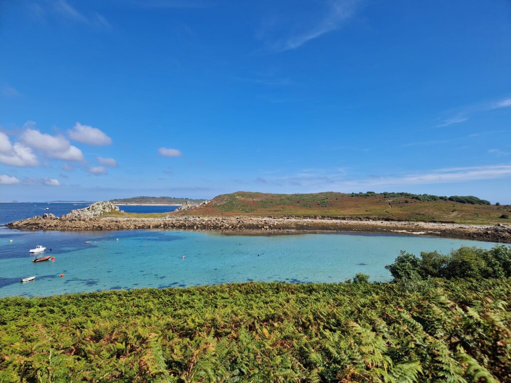
The South West Coastal Monitoring team recently made a successful trip out to the Isles of Scilly, conducting topographic surveys across the archipelago. This project involved surveying all five of the inhabited islands: St Mary’s, St Martin’s, Bryher, Tresco, and St Agnes. The team set out with a tight schedule and encountered some unexpected challenges…
Read MoreA-level placement experience – Emily & Romana
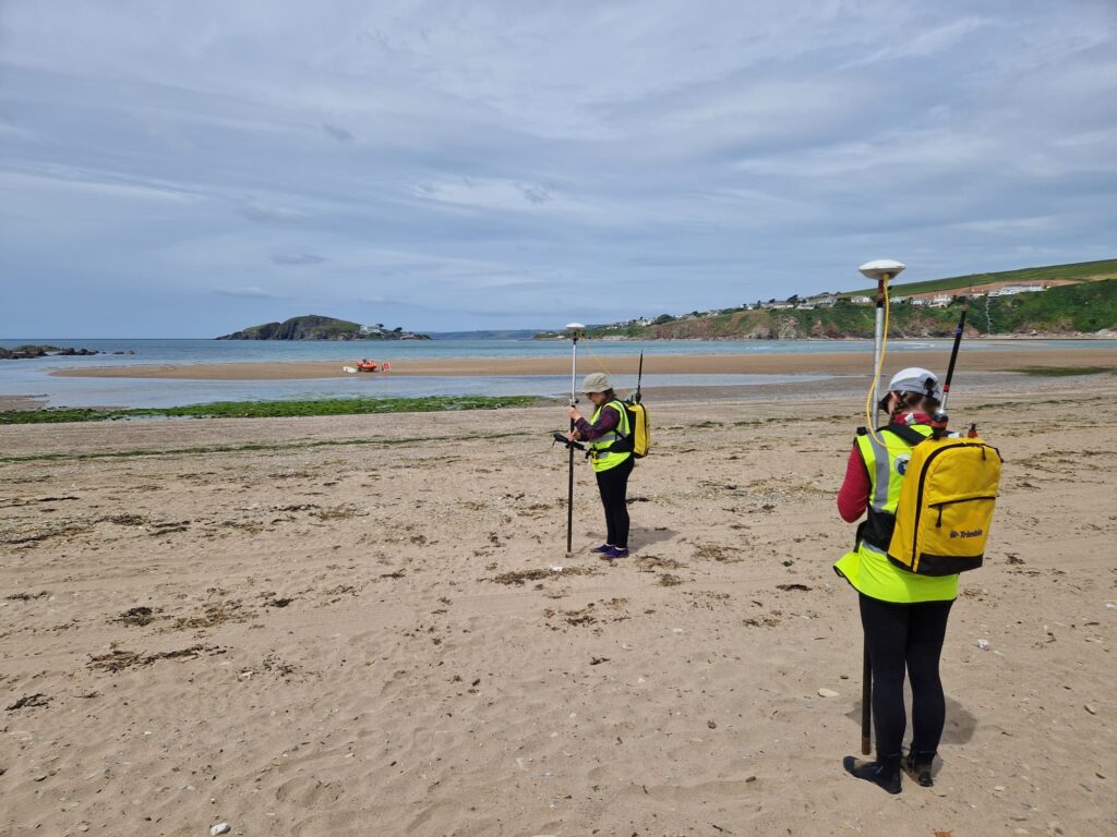
Every year, we host 6th form geography students from local Plymouth schools, to allow students to gain an insight into life as a Coastal Process Scientist. This year Emily and Romana joined us for four days. Here’s how they found it. Emily: “A four day placement at South West Coastal Monitoring provided an amazing…
Read MoreAll things wave buoy, tidal and met

We recently had a fantastic day in Portchester visiting the Fugro team, who manage our marine instruments for us. We embarked on a journey through their offices and workshops, delving into the intricate world of hydrodynamic, tidal and meteorological (met) monitoring equipment. Our immersion began with a captivating introduction to the wave buoy network, where…
Read MoreUnveiling the Mystery: Are Our Tide Gauges Sinking?

Recently, our team embarked on an insightful journey with the Channel Coastal Observatory (South East Coastal Monitoring), aiming to level two crucial tide gauges situated in the Southwest region: the Etrometa in Port Isaac and the WaveRex Radar in Exmouth. The primary goal? To discover whether these gauges are experiencing any movement—a potential consequence of…
Read MoreUSV Yellow Tin: a rapid method for bathy collection

Why is it so important to measure the seabed? Have you ever wondered what the seabed looks like under the water at your local beach? Understanding what the seabed looks like and how material moves can give us a much better insight into how our coastlines are changing. When a storm hits our coastline, it…
Read More