Topo
Five go surveying on the Isles of Scilly
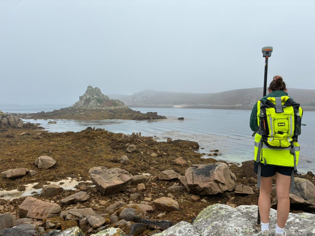
At the beginning of September, our coastal survey team travelled to the Isles of Scilly to carry out our annual set of coastal surveys, making the most of the super low spring tides. Our five surveyors undertook topographic beach profile surveys and coastal asset surveys across all five inhabited islands. During the 7 days we…
Read MoreStorm Impacts at Crantock: What the Latest Surveys Show
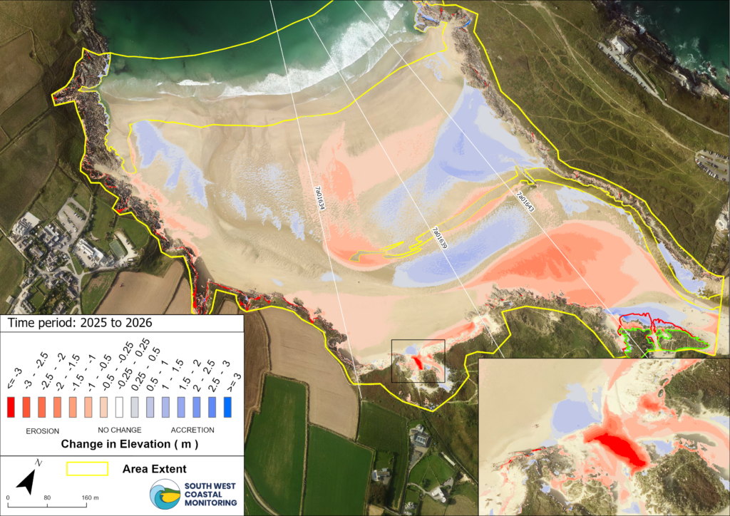
This year’s run of winter storms has left a mark on Crantock Beach, North Cornwall. Our latest coastal monitoring survey highlights significant changes to both the beach levels and parts of the dune system, particularly in the centre and towards the northern end of the bay. Our most recent beach elevation change map, Figure 1…
Read MoreIsles of Scilly survey 2024
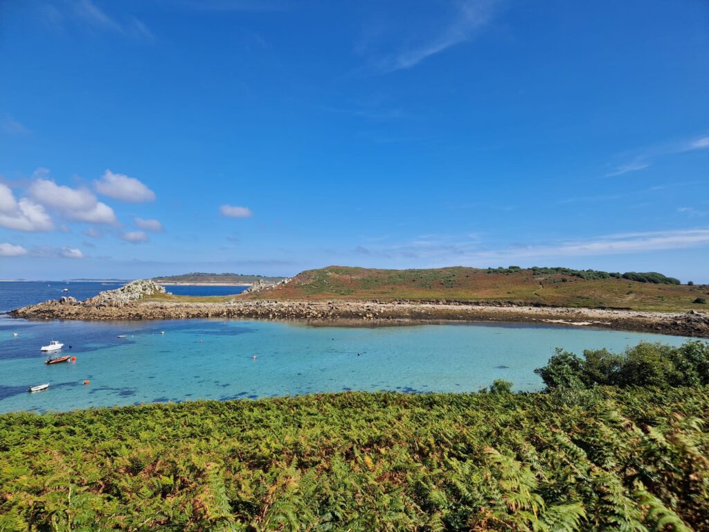
The South West Coastal Monitoring team recently made a successful trip out to the Isles of Scilly, conducting topographic surveys across the archipelago. This project involved surveying all five of the inhabited islands: St Mary’s, St Martin’s, Bryher, Tresco, and St Agnes. The team set out with a tight schedule and encountered some unexpected challenges…
Read MoreSurveying Wembury

We regularly survey the beaches around the South West to monitor how high, or low, they are. Wembury, in South Devon, is one of the sites we measure at least twice a year. We survey most of our beaches in the autumn and in the spring, after the majority of the storms have passed through.…
Read MoreAnnual laser scan of Chesil seawall

On the 22nd June the SWCM team carried out an annual laser scan on behalf of Bournemouth, Christchurch and Poole Council (BCP). This survey is part of an ongoing elevation monitoring regime of Chesil seawall which started in 2016. We use a Leica C-10 laser scanner to capture the elevation data and Trimble RTK GPS…
Read More